


Fords and Hills
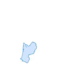
The route takes you to Chambon-sur-Voueize for a beautiful hike of nearly 12 km.

In front of the Tourism Office, turn left towards Évaux-les-Bains, then after the bridge over the Tardes, turn right and take the Barbeyrat road.
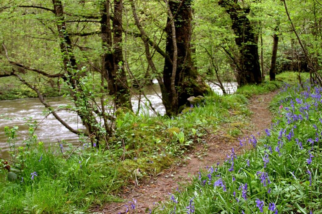
Turn right onto the path leading to the Thaury ford, cross the Méouze then reach the road and turn left. Follow the road then the path on the right until Dol.
Cross the square and turn left. At the road, turn right and at the village exit, turn left onto the path leading to the ford. Cross the Méouze and, after passing alongside the dry stone wall, follow the goat trail on the right that crosses the woods. At the edge of the woods, go straight ahead to climb back onto the plateau by a wide path.
Turn right upon arriving at the paved vicinal road and at the end of the straight section follow the path ahead.
At the crossroads, take the dirt path on the left until the road then turn left and take the path on the right leading to Villemoleix. (The route quickly joins the GR41).
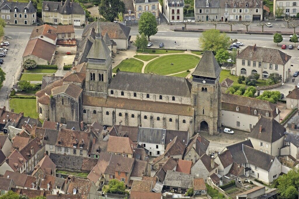
Follow the GR41 to reach Bordmongeaud. After the first houses, take the left along the steep path through the woods which leads near the cemetery, then reach the center of Chambon-sur-Voueize.
Ano
Hiking shoes or sneakers highly recommended.
European emergency number: 112 For people with hearing or speaking difficulties: 114 via SMS
Stay on marked paths to avoid damaging the flora and disturbing the animals. Do not touch anything, just look: if all hikers or walkers picked flowers, threw stones, or broke branches, the path would soon be damaged. Do not pick flowers or plants as they may be protected. Respect silence, do not shout so as not to frighten the animals. Keep your distance from wild animals, do not touch them: a mother who senses the human scent on her young might abandon it. Respect the regulations related to natural areas or forest tracks. Respect access prohibitions to certain places.Parking near the start.
Creuse Confluence Tourism
05 55 65 50 90
www.tourisme-creuse.com/creuse-confluence/
Warning: this route is only passable during low water periods because you have to cross the Méouze at a ford halfway through.
Oblíbené prohlídky v okolí
-
Mountain bike route no. 4 - Chaumont
středníMountainbike 13.8 km -
L'étang des Landes
světloTuristika 7.07 km -
MTB Route No. 8 - Sannat
heavyMountainbike 45.1 km -
Mountain bike route No. 2 - Soubrebost
světloMountainbike 6.73 km -
VTT route No. 10 - Évaux-les-Bains
heavyMountainbike 58.8 km -
VTT route no. 7 - Arfeuille
heavyMountainbike 29.8 km -
Mountain biking route no. 3 - Labrot
středníMountainbike 9.82 km -
Mountain bike route no. 1 - La Chirade
světloMountainbike 6.07 km -
Boucle à vélo N°25 : Sortie nature à la découverte du patrimoine local
světloJízda na kole 20.3 km -
Etang de Landes LT1
světloMountainbike 5.25 km

Pěší turistika a stopování


Nenechte si ujít nabídky a inspiraci pro vaši příští dovolenou
Vaše e-mailová adresa byl přidán do poštovního seznamu.