© Wiener Alpen in Niederösterreich - Sophie Weinberger
© ©Wiener Alpen in NÖ Tourismus GmbH, Foto Walter Strobl - Wiener Alpen in Niederösterreich Tourismus GmbH
© Wiener Alpen in Niederösterreich - Sophie Weinberger
© Wiener Alpen in Niederösterreich - Sophie Weinberger
© Wiener Alpen in Niederösterreich - Sophie Weinberger
© Wiener Alpen in Niederösterreich - Sophie Weinberger
© Wiener Alpen in Niederösterreich - Sophie Weinberger
© Wiener Alpen in Niederösterreich - Sophie Weinberger
© Wiener Alpen in Niederösterreich - Sophie Weinberger
© Wiener Alpen in Niederösterreich - Sophie Weinberger
- Stručný popis
-
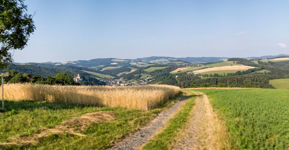
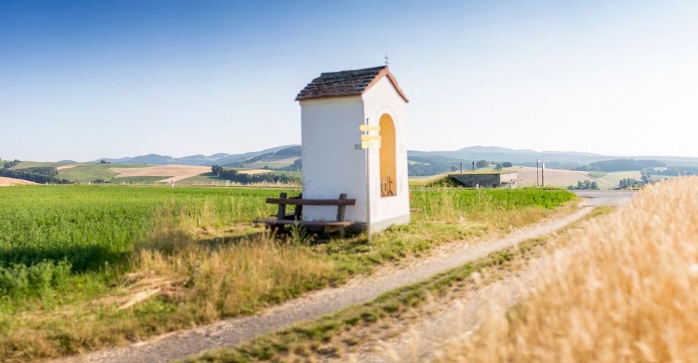
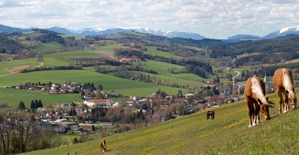
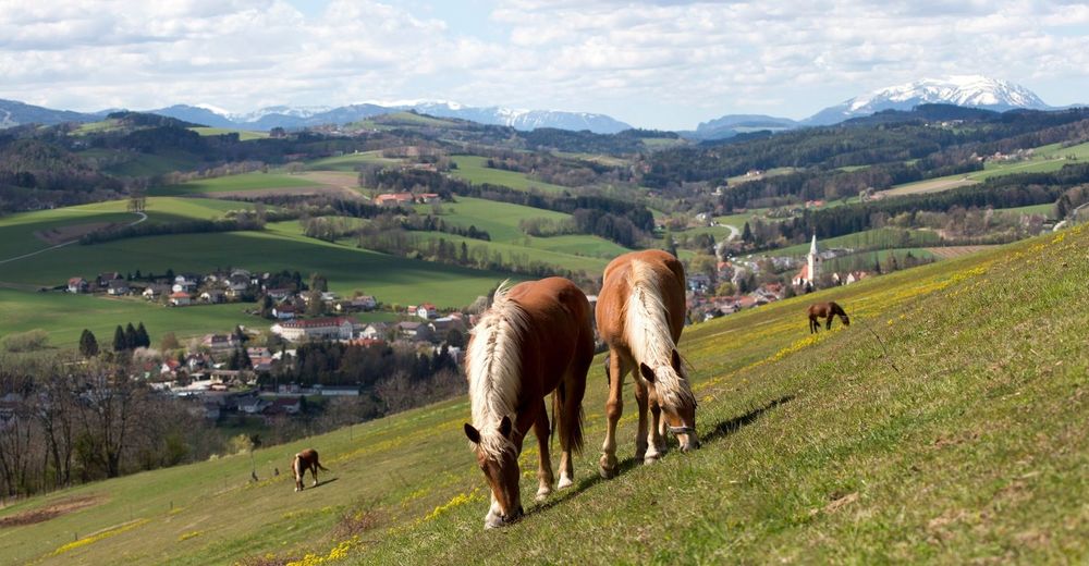
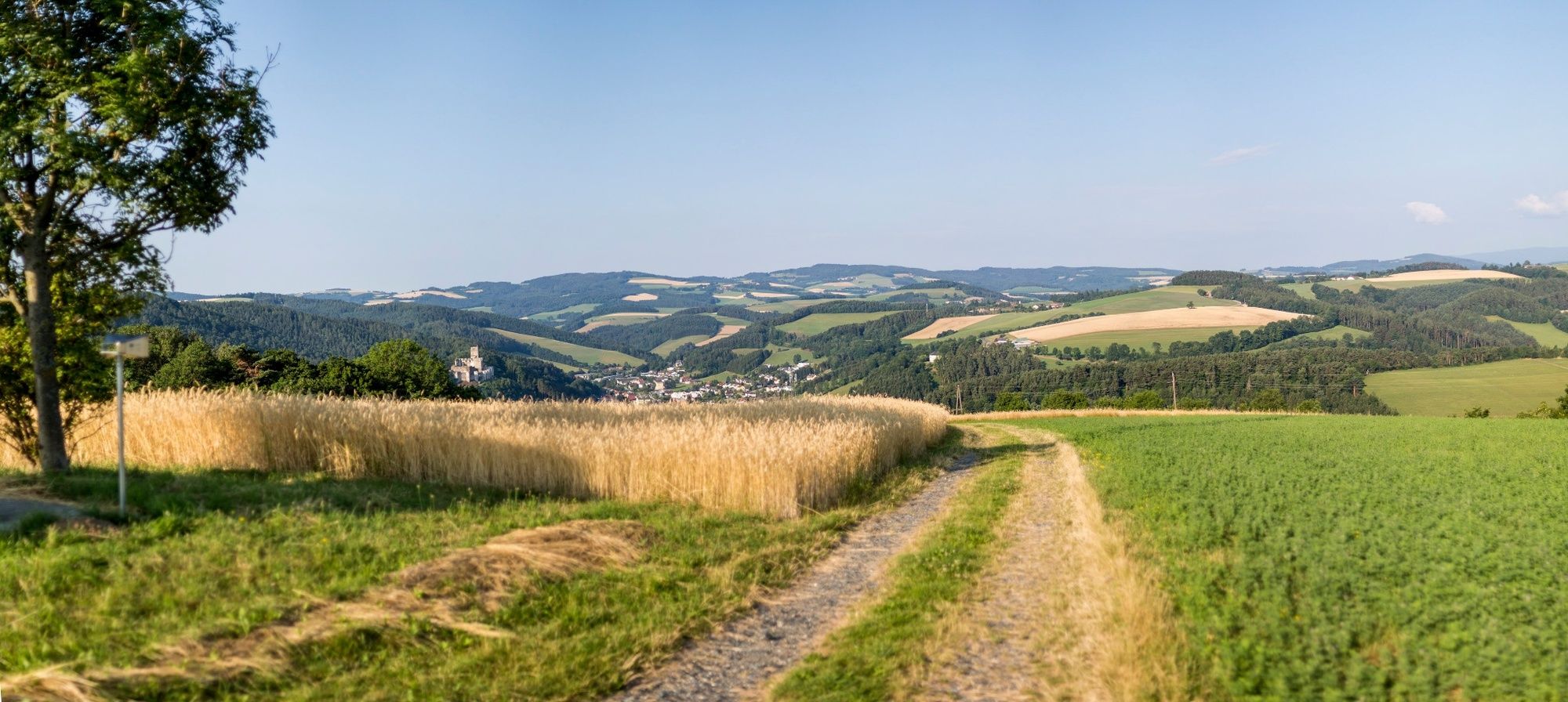
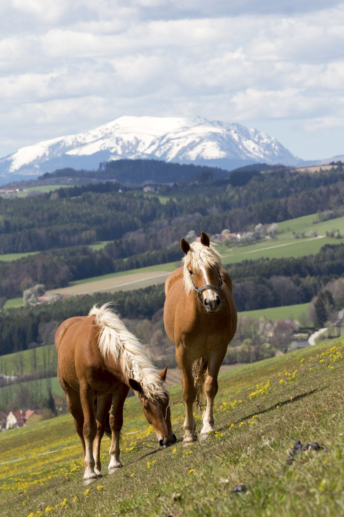
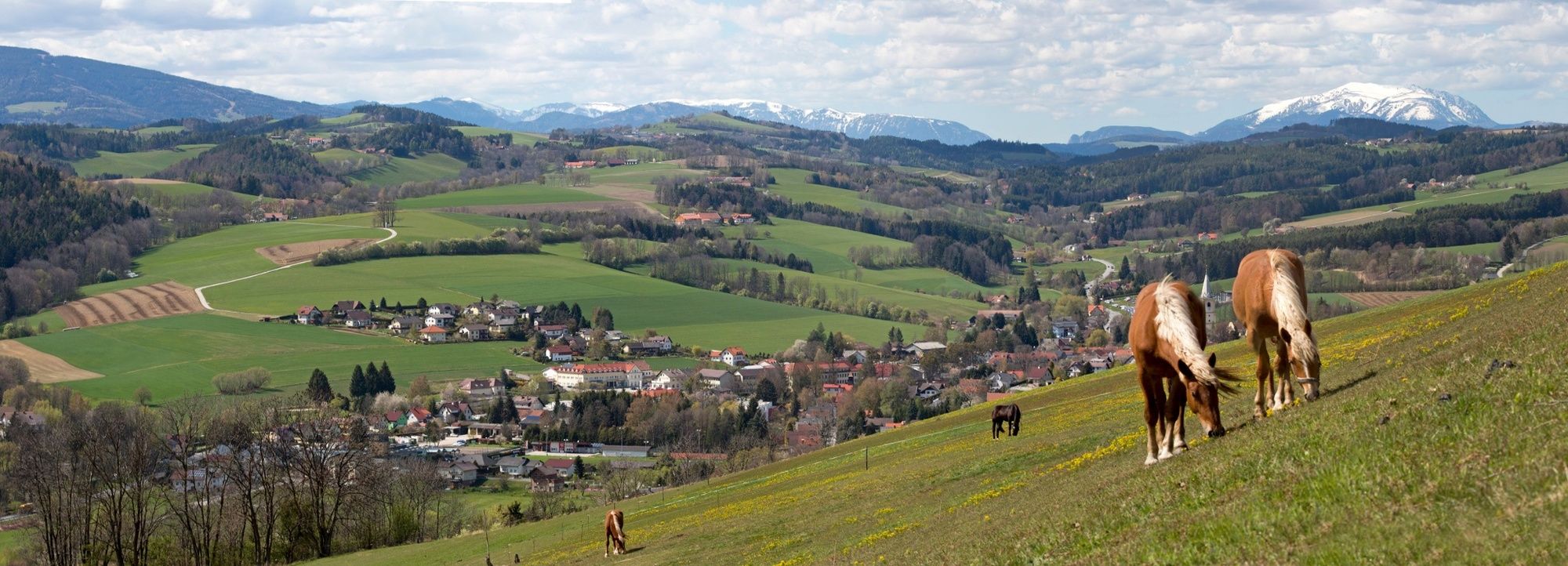
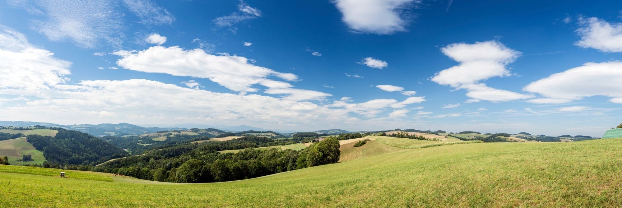
Regional Route C is an opportunity to enjoy peace and quiet amongst forest and alpine paths and reflect on stunning views. The Regional Routes are part of the network of paths making up the Viennese Alps (WAB) route. Hikes along these routes lead you to unique views and also insights. The Regional Routes are linked to the network of paths making up the Viennese Alps route. This results in circular hikes in conjunction with the long-distance path.
- Obtížnost
-
snadno
- Hodnocení
-
- Trasa
-
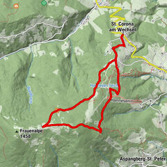
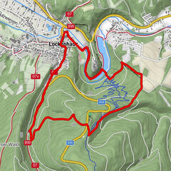
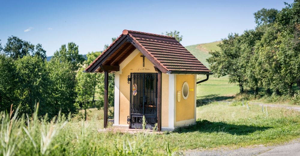
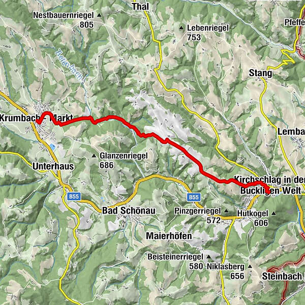
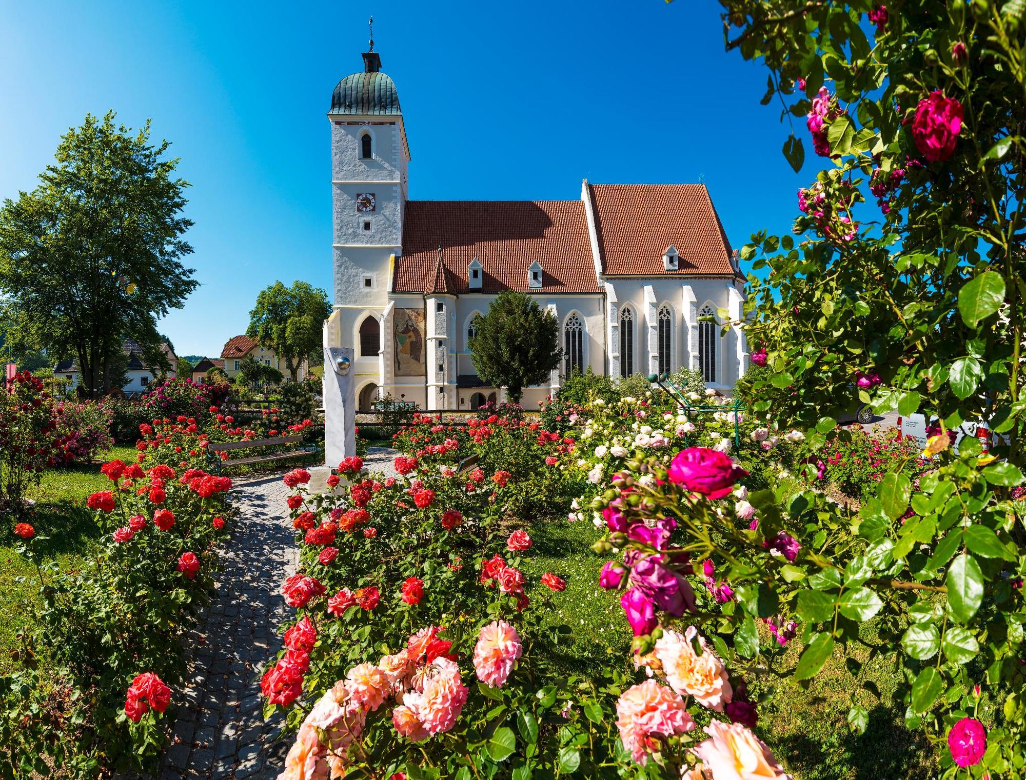
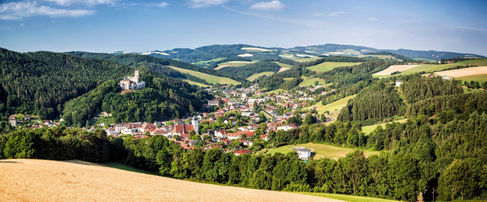
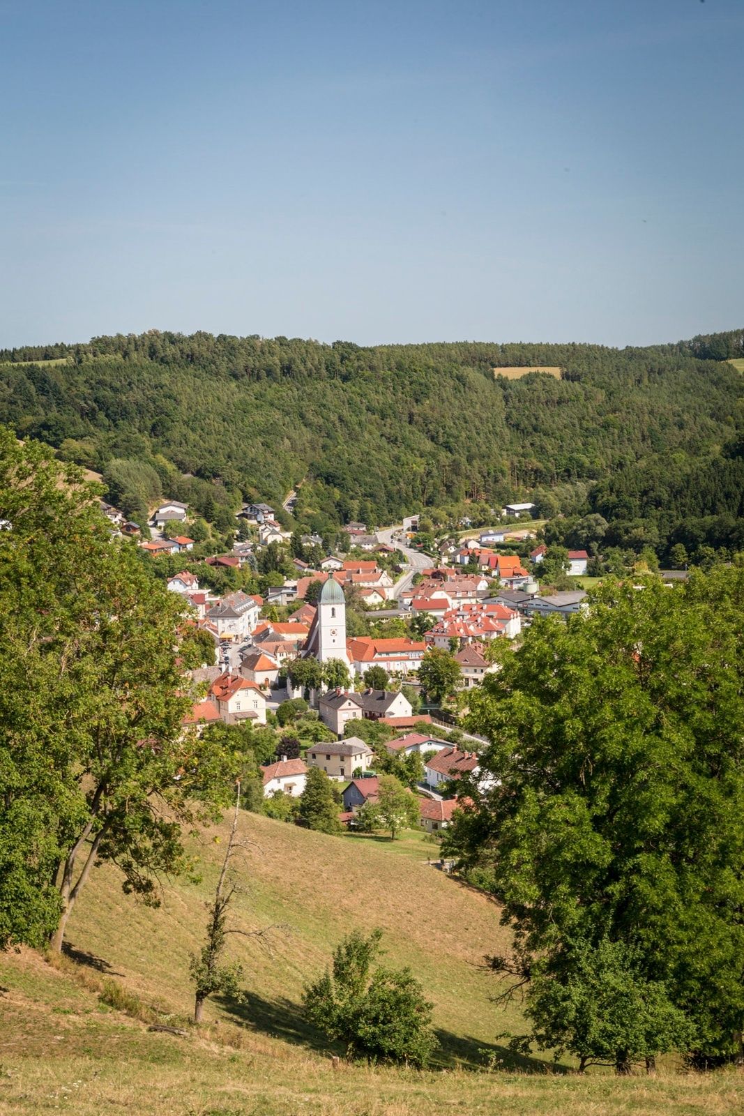
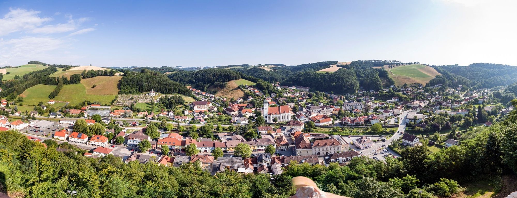
Krumbach - MarktRosenkranzkapelle1,2 kmPfarrkirche hl. Johannes der Täufer9,7 kmKirchschlag in der Buckligen Welt9,8 km
- Nejlepší sezóna
-
ledúnobředubkvěčenčecsrpzářříjlispro
- Nejvyšší bod
- 621 m
- Cílová destinace
-
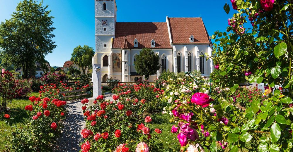
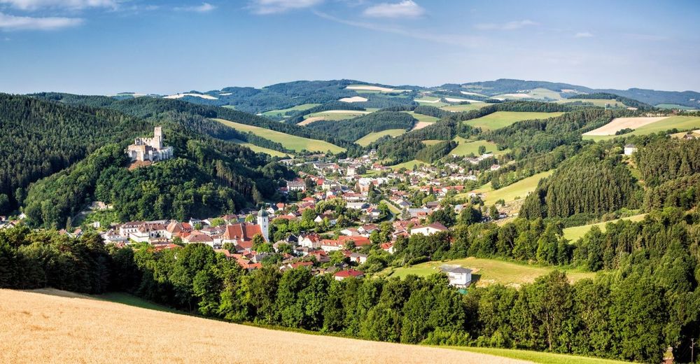
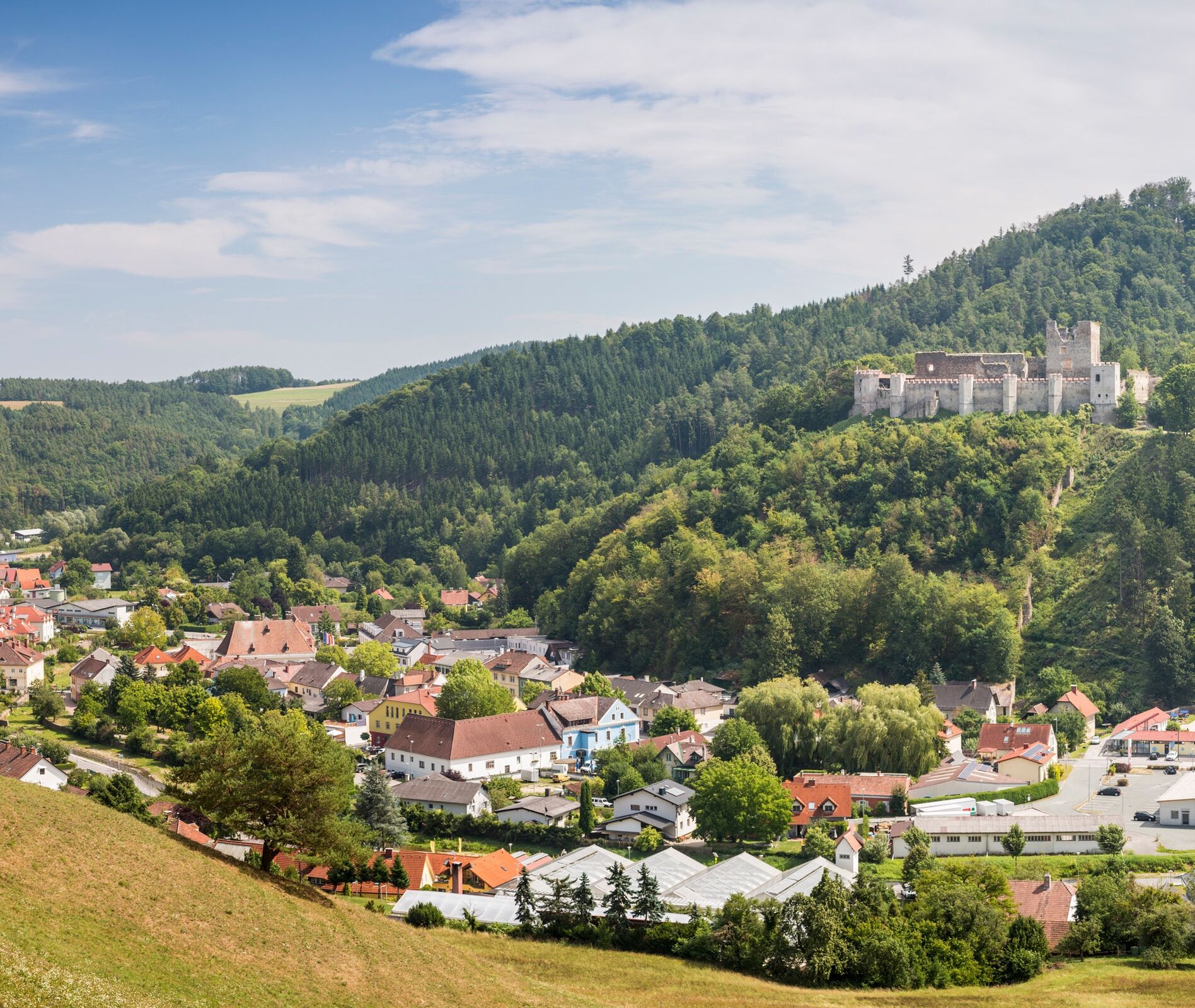
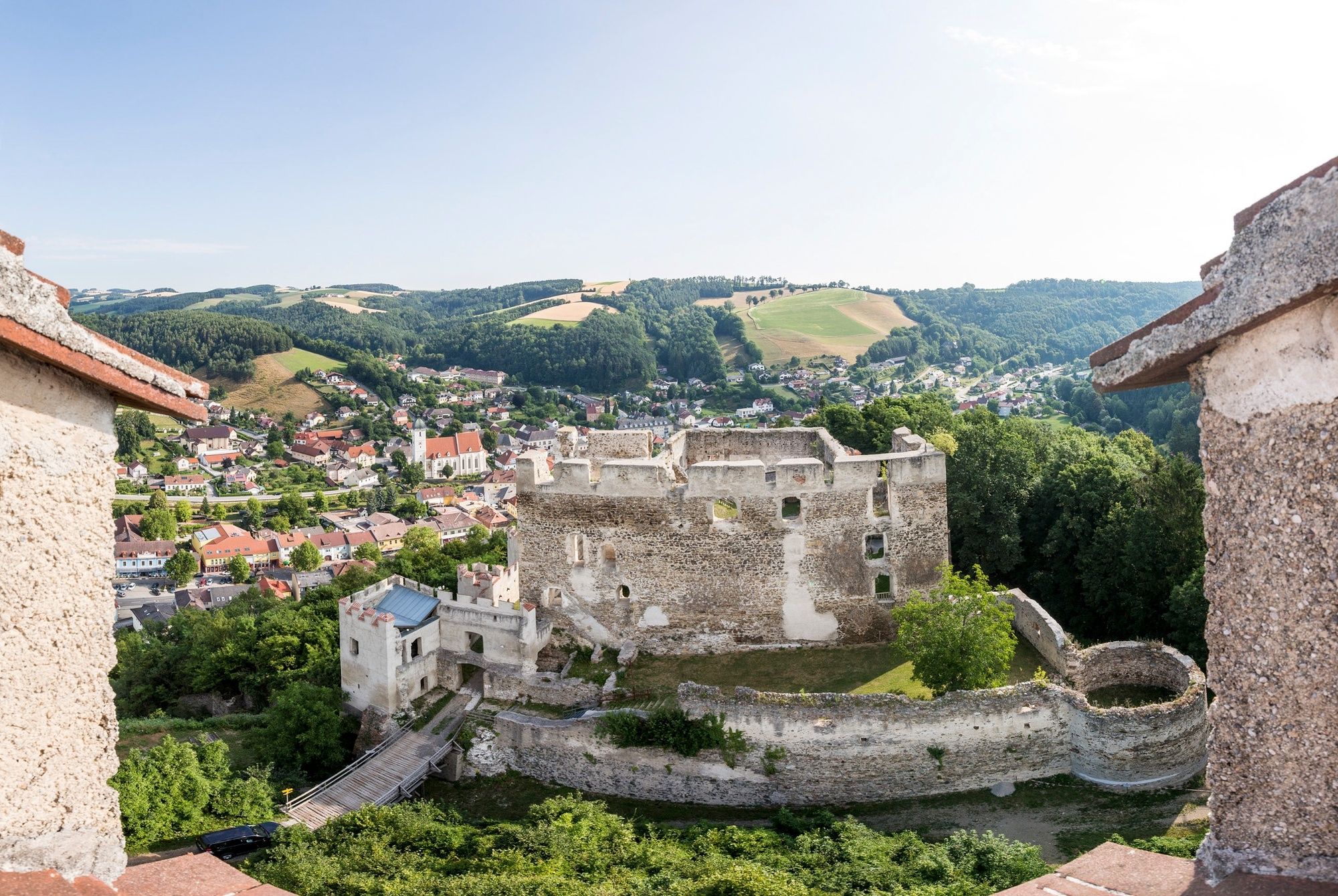
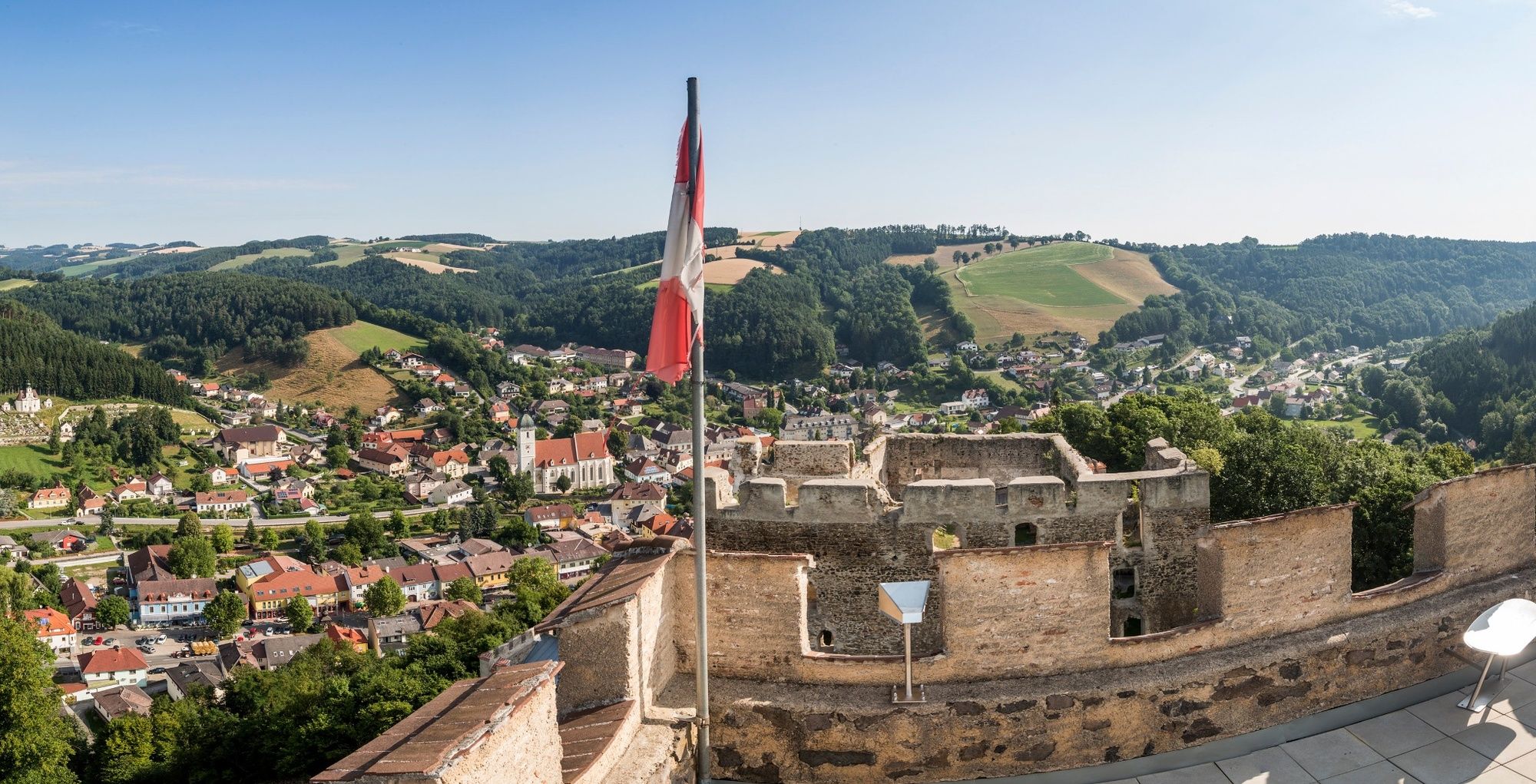
The Kaiser Franz Josef monument beneath the Kirchschlag ruins in the town centre
- Výškový profil
-


- Autor
-
Prohlídka WAB - Regional Route C: Krumbach - Kirchschlag používá outdooractive.com na adrese ..
GPS Downloads


Obecné informace
Slibný
Další výlety v regionech
-
Wiener Alpen
3035
-
Bucklige Welt - Wiener Alpen
793
-
Bad Schönau
189