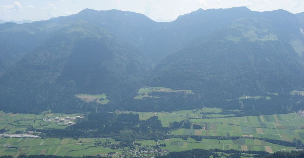
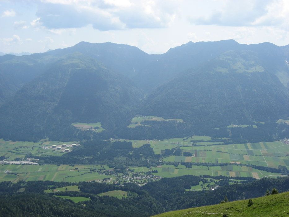
Grafendorf - Zollner Alm - Obere / Untere Bischof Alm - Untere Frondell Alm - Kronhof

Mountainbike
Termíny turné
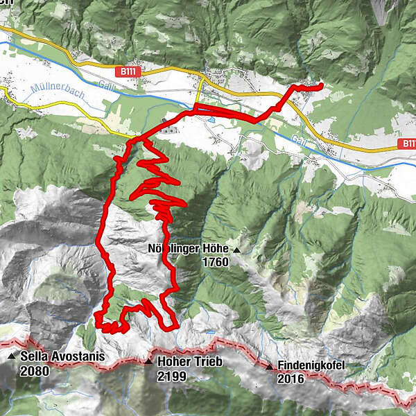
38,3km
654
- 1.795m
1.298hm
03:30h
- Stručný popis
-
tolle Tour, für jeden etwas dabei
- Hodnocení
-
- Výchozí bod
-
Grafendorf im Gailtal / es können aber auch andere Ausgangspunkte gewählt werden
- Trasa
-
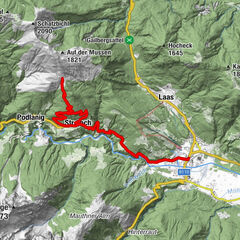
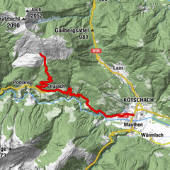
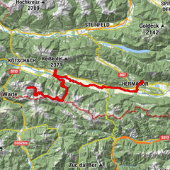
Grafendorf0,4 kmWeidenburg5,0 kmGratzhof6,1 kmFriedenskapelle19,0 kmZollnersee Hütte19,2 kmKronhof30,9 kmWeidenburg31,8 kmGrafendorf36,9 km
- Nejvyšší bod
- 1.795 m
- Odpočinek/Ústup
-
Obere Frondell Alm Öffnungszeiten beachten: www.frondell-alm.at
GPS Downloads


Silnice
Asfalt
Štěrk
Bergwege
Singletrails
Zkouška
Doprava
Další výlety v regionech