
© Heidiland Tourismus - Werner Forrer
© Heidiland Tourismus - Werner Forrer
© Heidiland Tourismus - Werner Forrer

© Heidiland Tourismus - Werner Forrer
© Heidiland Tourismus - Werner Forrer
© Heidiland Tourismus - Werner Forrer
© Heidiland Tourismus - Werner Forrer

- Stručný popis
-
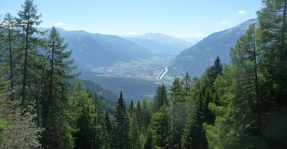
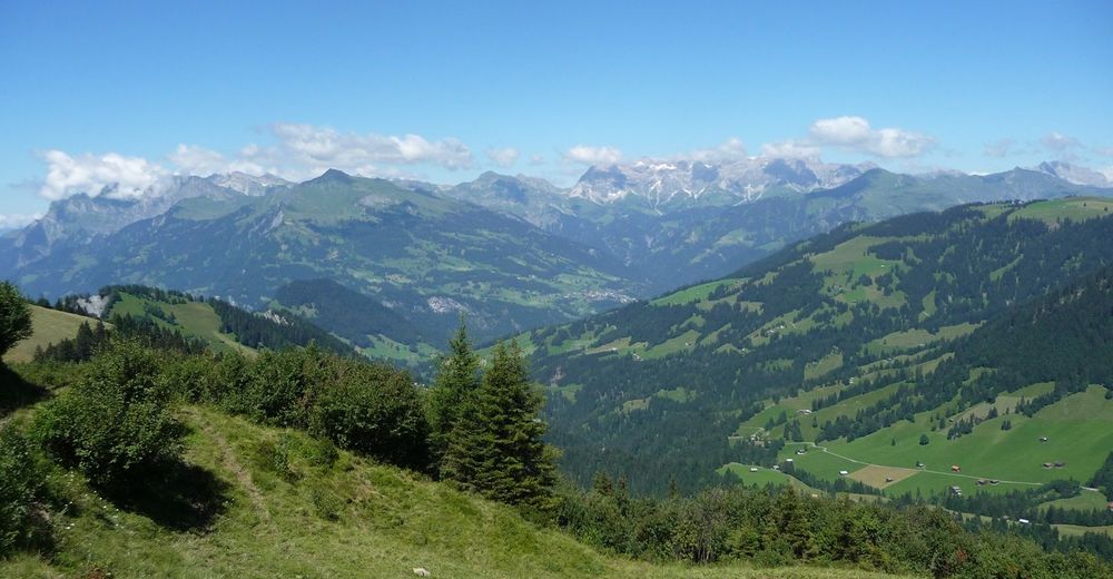
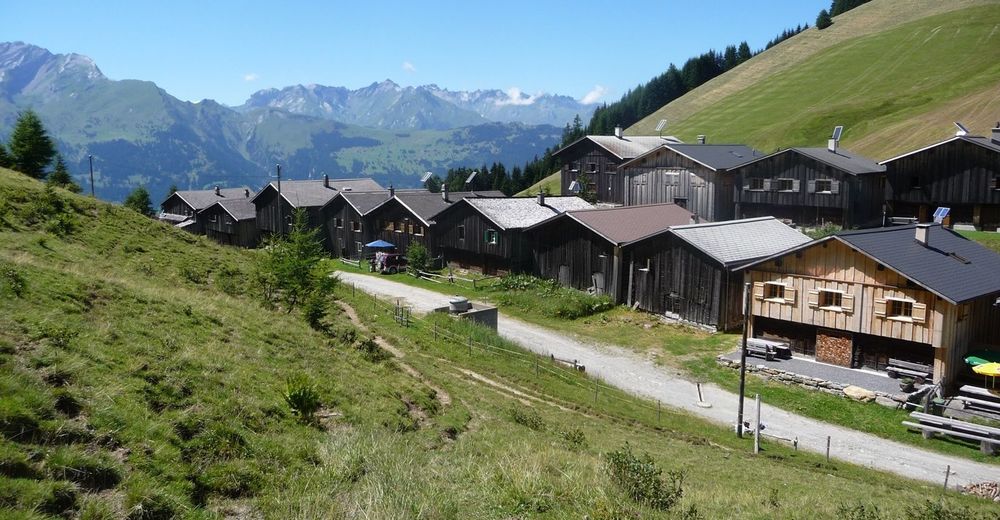
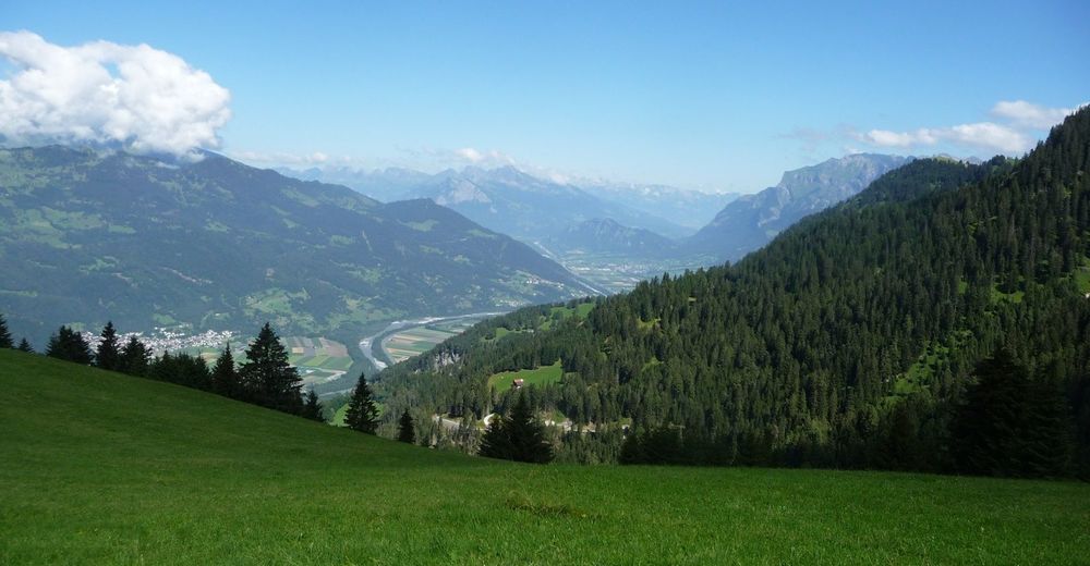
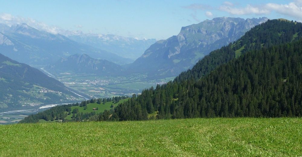
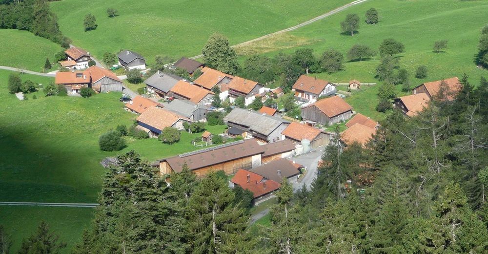
On a green meadow terrace lies the small mountain village Obersays at 1100 meters above sea level. Already here the view to the opposite Calanda massif is magnificent. The higher we climb, the more impressive Chur's local mountain presents itself.
- Obtížnost
-
střední
- Hodnocení
-
- Trasa
-
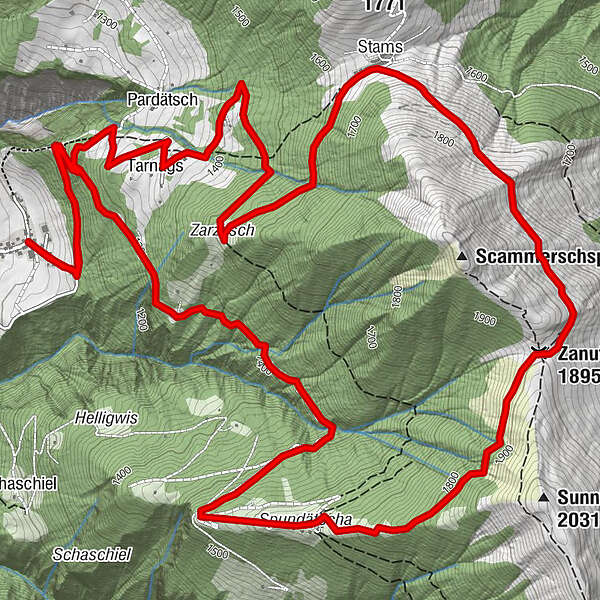
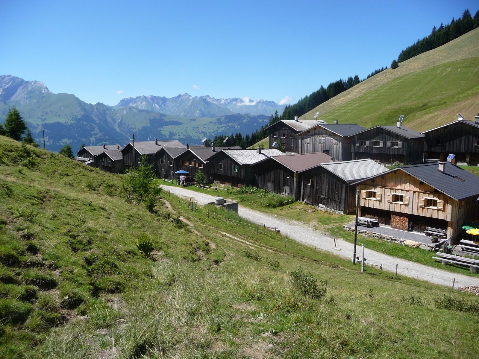
Spundätscha (1.637 m)4,0 kmZanutscher Boden (1.895 m)5,7 kmBergrestaurant Stams7,4 kmStams (1.645 m)7,4 km
- Nejlepší sezóna
-
ledúnobředubkvěčenčecsrpzářříjlispro
- Nejvyšší bod
- 1.890 m
- Cílová destinace
-
Obersays
- Výškový profil
-
 © outdooractive.com


- Autor
-
Prohlídka Hiking Trail Obersays používá outdooractive.com na adrese ..
GPS Downloads


Obecné informace
Zastávka s občerstvením
Slibný


