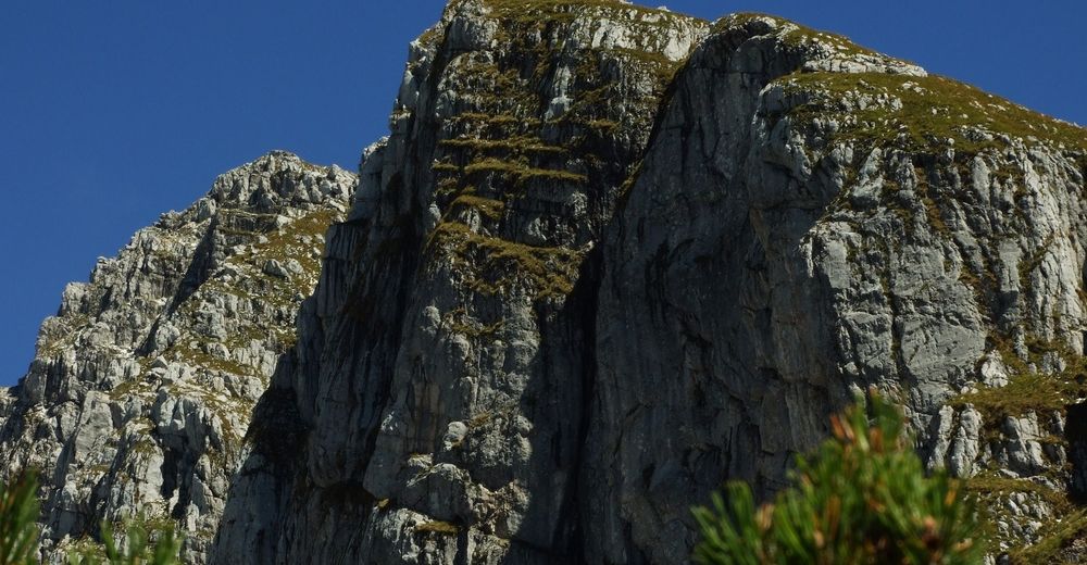
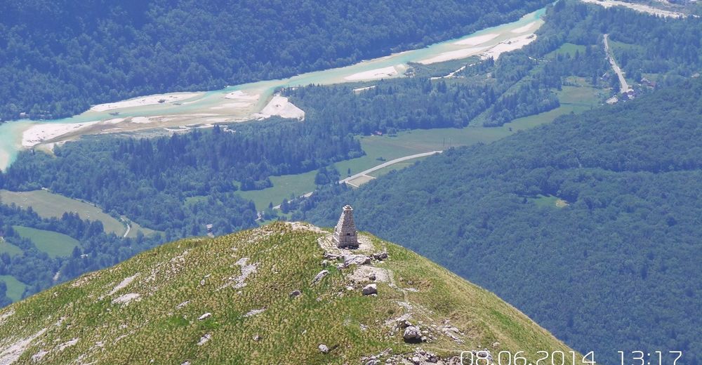
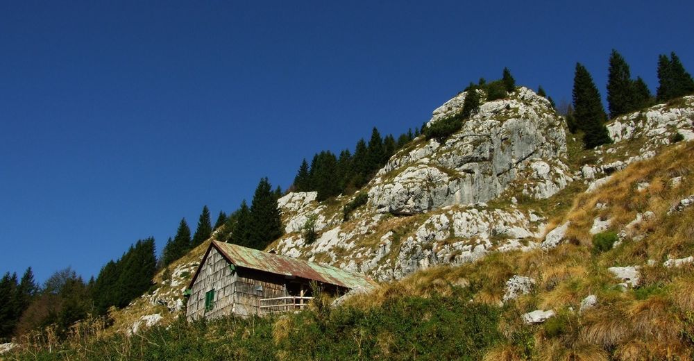
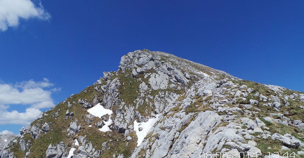
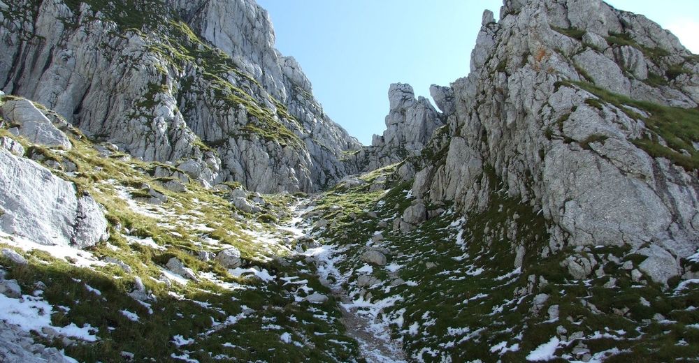
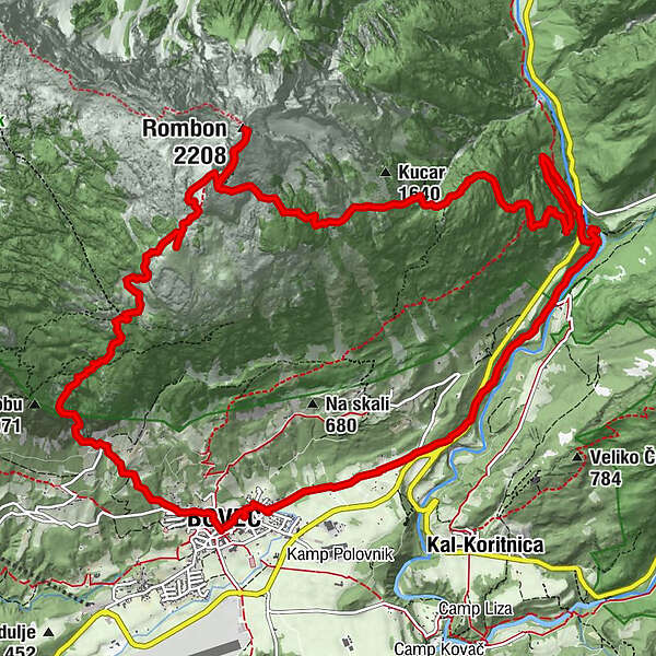
Mt. Rombon (2208 m), the finest sightseeing hill of the Bovec area

Turistika
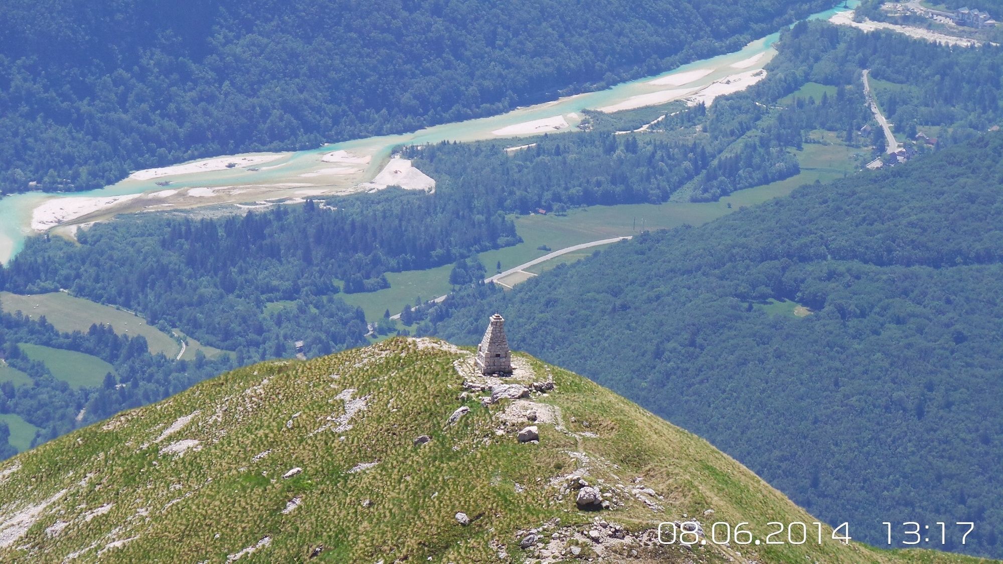
© Turizem Dolina Soce - Darjo Berra
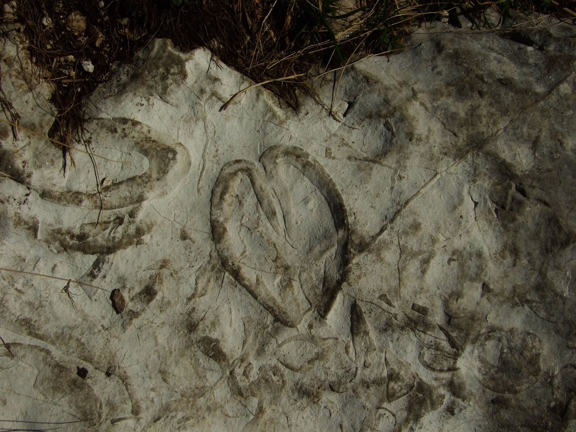
© Turizem Dolina Soce - Darjo Berra

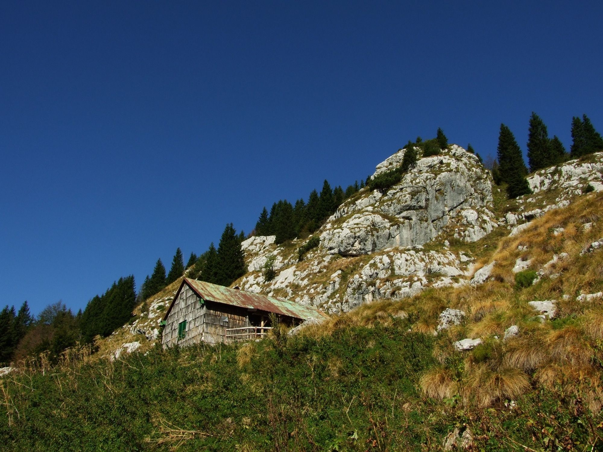
© Turizem Dolina Soce - Darjo Berra

© Turizem Dolina Soce - Darjo Berra

© Turizem Dolina Soce - Darjo Berra
© Turizem Dolina Soce - Darjo Berra
© Turizem Dolina Soce - Darjo Berra
© Turizem Dolina Soce - Darjo Berra
© Turizem Dolina Soce - Darjo Berra
© Turizem Dolina Soce - Darjo Berra

- Stručný popis
-
This long hiking tour with the ascent of 1800 metres leads to the most important points where the battles of World War I took place.
- Obtížnost
-
těžké
- Hodnocení
-
- Trasa
-
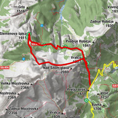
Flitsch0,0 kmCerkev svetega Urha0,2 kmKaninska Vas0,5 kmPlanina Goričica3,3 kmČukla (1.765 m)5,0 kmMonte Rombon (2.208 m)6,7 kmVrh Nakla (2.000 m)7,4 kmFlitsch18,7 km
- Nejlepší sezóna
-
ledúnobředubkvěčenčecsrpzářříjlispro
- Nejvyšší bod
- 2.125 m
- Cílová destinace
-
Mt. Rombon (2208 m)
- Výškový profil
-
 © outdooractive.com


-

-
AutorProhlídka Mt. Rombon (2208 m), the finest sightseeing hill of the Bovec area používá outdooractive.com na adrese ..
GPS Downloads


Obecné informace
Kulturní/Historické stránky
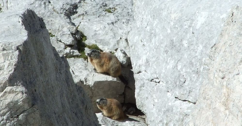
Flora
Fauna
Slibný
Další výlety v regionech
-
Region Villach - Faaker See - Ossiacher See
2058
-
Soča-Tal
392
-
Bovec
111