


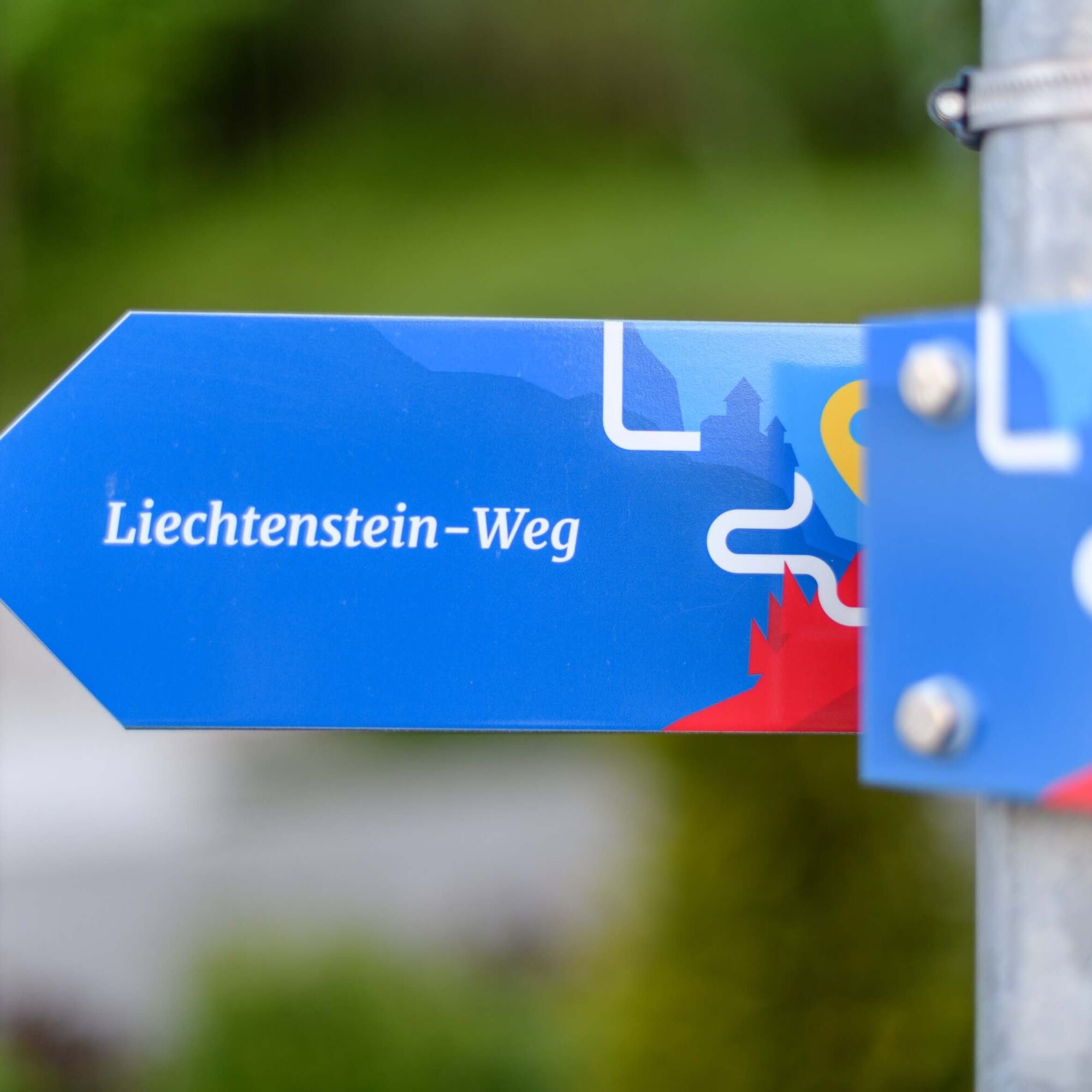
The Liechtenstein Path
Úroveň obtížnosti: T2
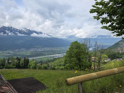
Fotografie našich uživatelů
 © Carlo Ospelt (Wuffenstein)Vytvořeno dne 20.05.2026
 © Cyrill BischofVytvořeno dne 23.03.2026
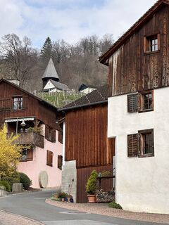 © Cyrill BischofVytvořeno dne 23.03.2026
 © Manuela Ritter 1Vytvořeno dne 22.03.2026
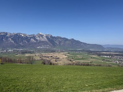 © Manuela Ritter 1Vytvořeno dne 22.03.2026
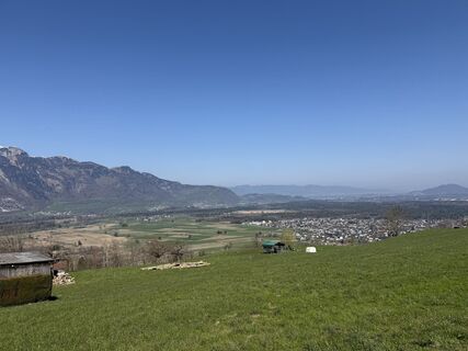 © Manuela Ritter 1Vytvořeno dne 22.03.2026
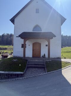 © Manuela Ritter 1Vytvořeno dne 22.03.2026
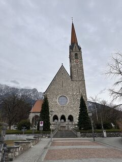 © Cyrill BischofVytvořeno dne 16.03.2026
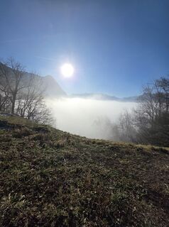 © Carlo Ospelt (Wuffenstein)Vytvořeno dne 27.12.2025
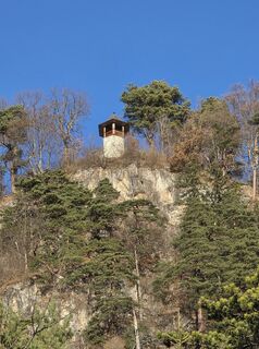 © Carlo Ospelt (Wuffenstein)Vytvořeno dne 12.12.2025
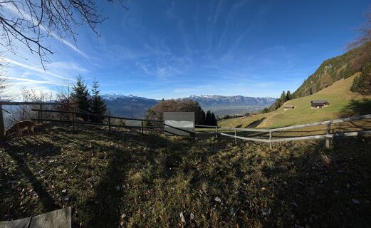 © Carlo Ospelt (Wuffenstein)Vytvořeno dne 12.12.2025
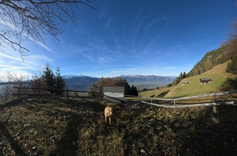 © Carlo Ospelt (Wuffenstein)Vytvořeno dne 12.12.2025
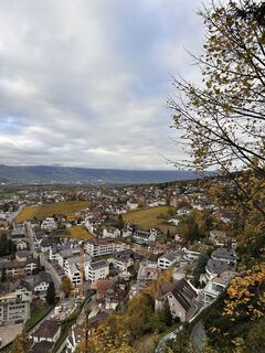 © Cyrill BischofVytvořeno dne 30.10.2025
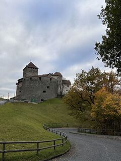 © Cyrill BischofVytvořeno dne 30.10.2025
 © Cyrill BischofVytvořeno dne 30.10.2025
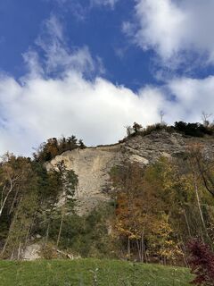 © Cyrill BischofVytvořeno dne 30.10.2025
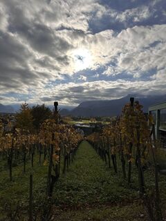 © Cyrill BischofVytvořeno dne 30.10.2025
 © Cyrill BischofVytvořeno dne 30.10.2025
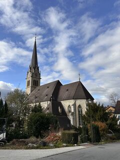 © Cyrill BischofVytvořeno dne 30.10.2025
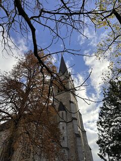 © Cyrill BischofVytvořeno dne 30.10.2025
 © Cyrill BischofVytvořeno dne 30.10.2025
 © Cyrill BischofVytvořeno dne 24.07.2025
 © karči a lajčiVytvořeno dne 09.06.2025
 © Jens MehlhornVytvořeno dne 09.06.2025
 © Jens MehlhornVytvořeno dne 09.06.2025
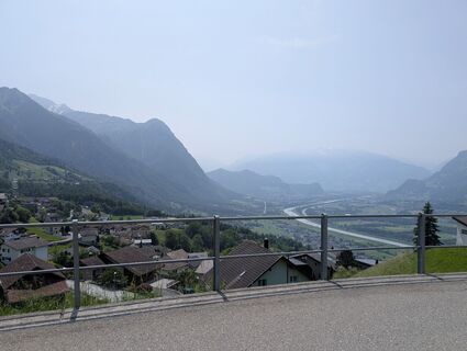 © Jens MehlhornVytvořeno dne 09.06.2025
 © Nila PerezVytvořeno dne 23.03.2025
 © Jens MehlhornVytvořeno dne 08.03.2025
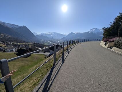 © Jens MehlhornVytvořeno dne 08.03.2025
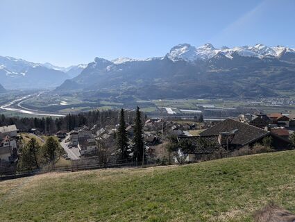 © Jens MehlhornVytvořeno dne 08.03.2025
 © Jens MehlhornVytvořeno dne 08.03.2025
 © Jens MehlhornVytvořeno dne 08.03.2025
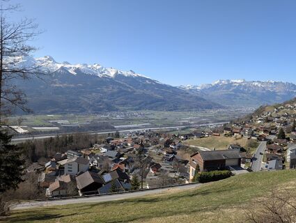 © Jens MehlhornVytvořeno dne 08.03.2025
 © Jens MehlhornVytvořeno dne 08.03.2025
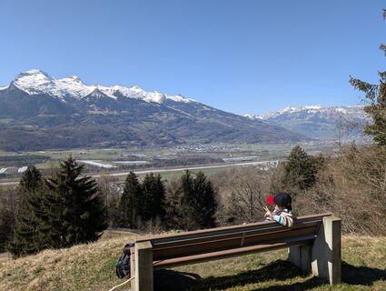 © Jens MehlhornVytvořeno dne 08.03.2025
 © Jens MehlhornVytvořeno dne 08.03.2025
 © Cyrill BischofVytvořeno dne 17.02.2025
 © Cyrill BischofVytvořeno dne 17.02.2025
 © Cyrill BischofVytvořeno dne 17.02.2025
 © Cyrill BischofVytvořeno dne 17.02.2025
 © Cyrill BischofVytvořeno dne 17.02.2025
 © Cyrill BischofVytvořeno dne 17.02.2025
 © Cyrill BischofVytvořeno dne 17.02.2025
 © Cyrill BischofVytvořeno dne 17.02.2025

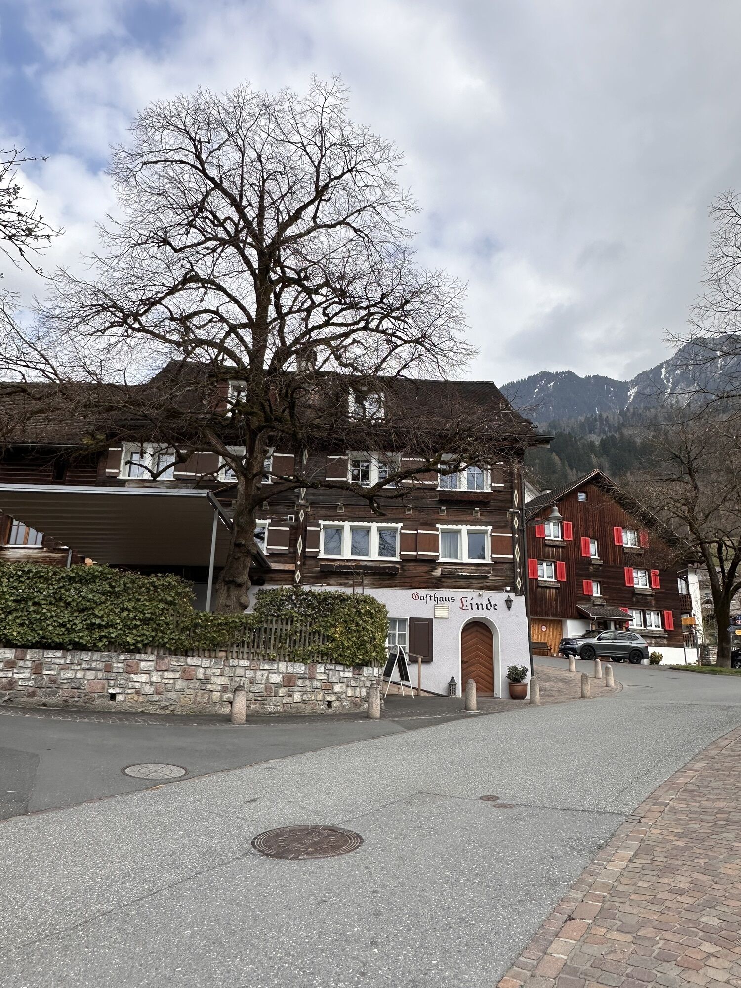


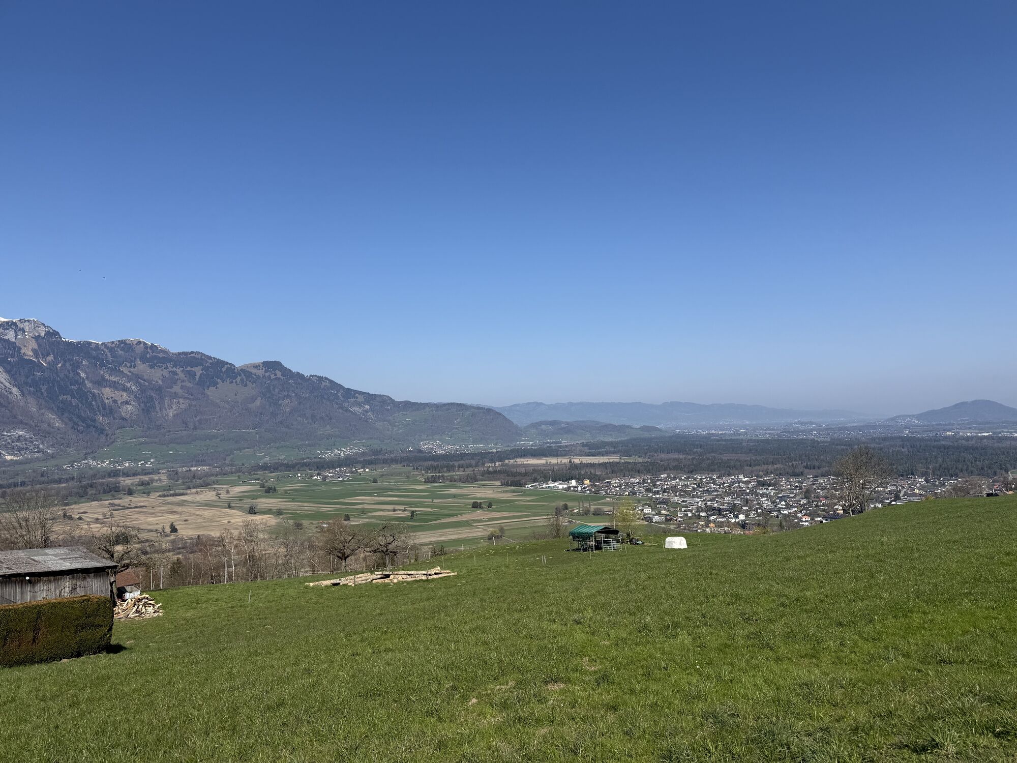


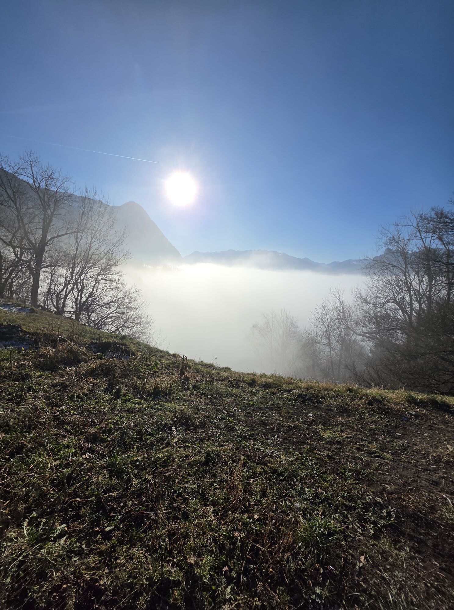

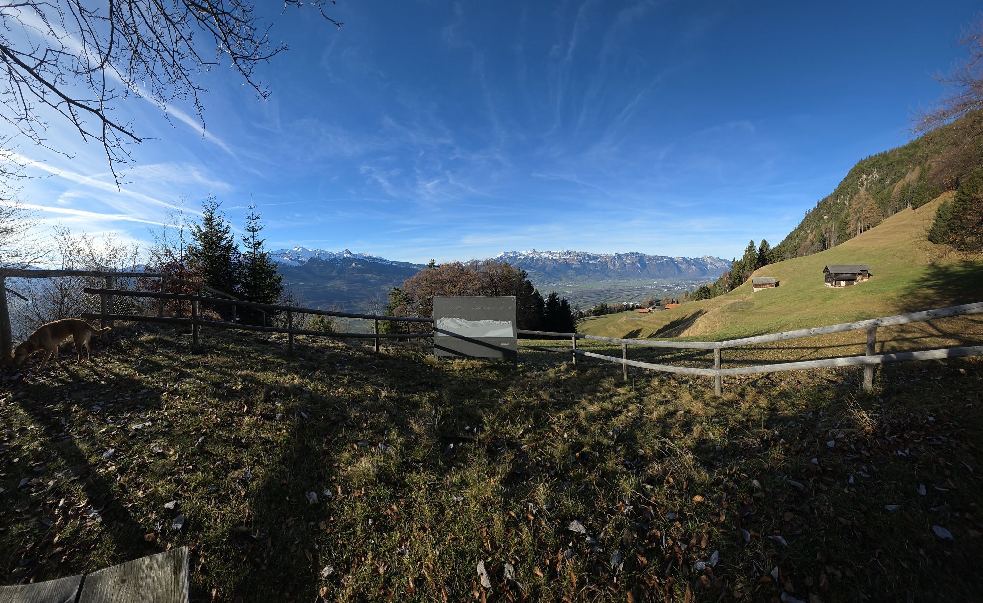

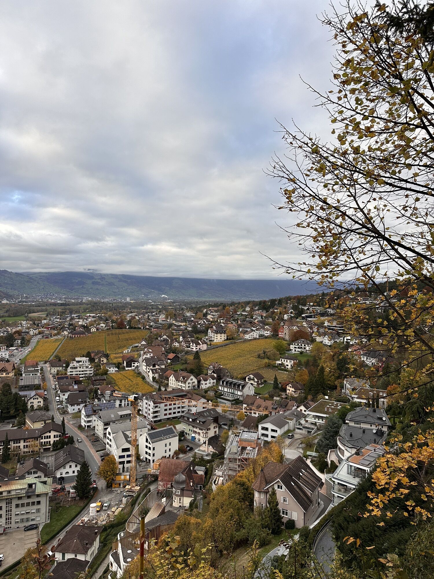
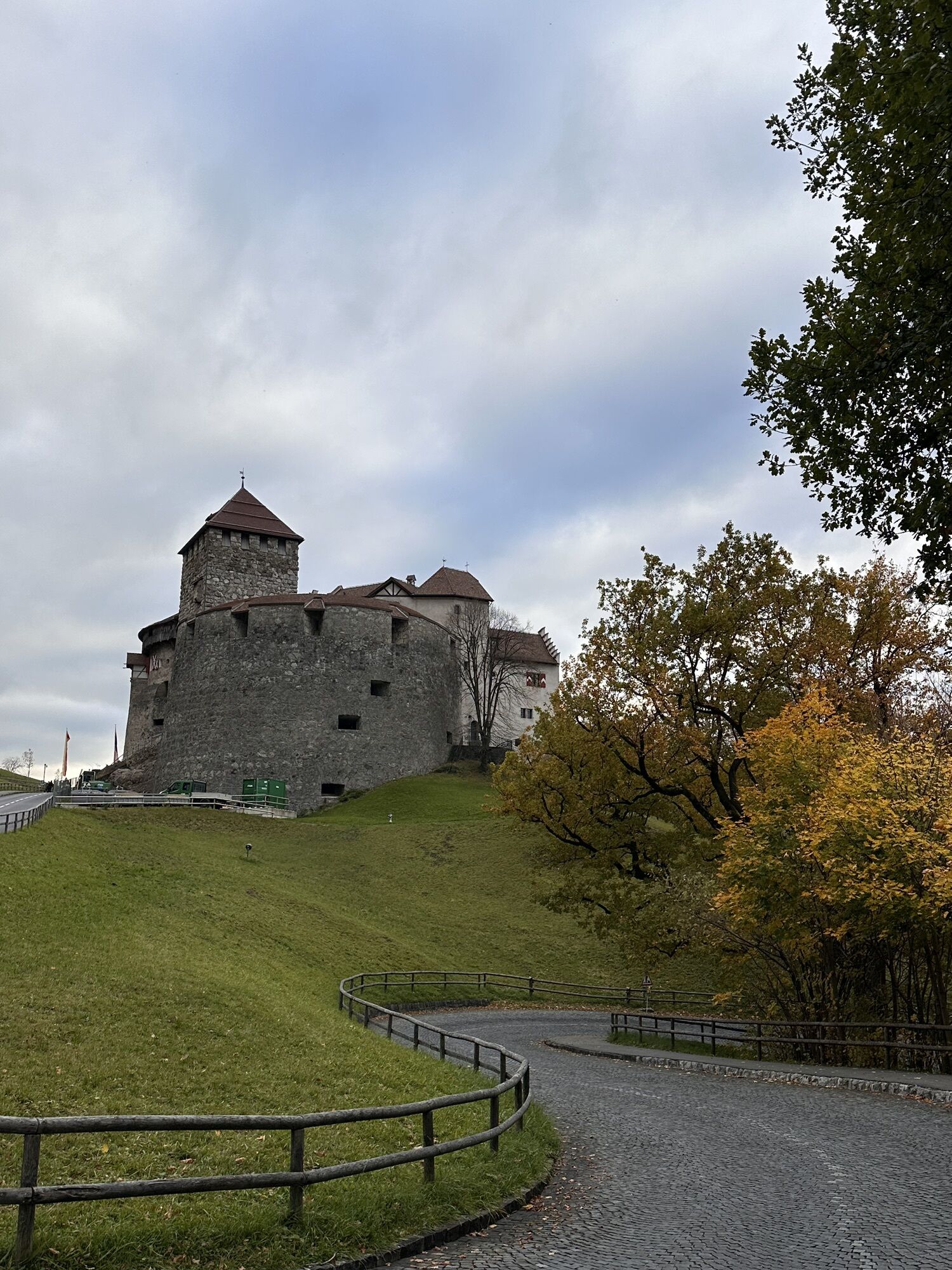

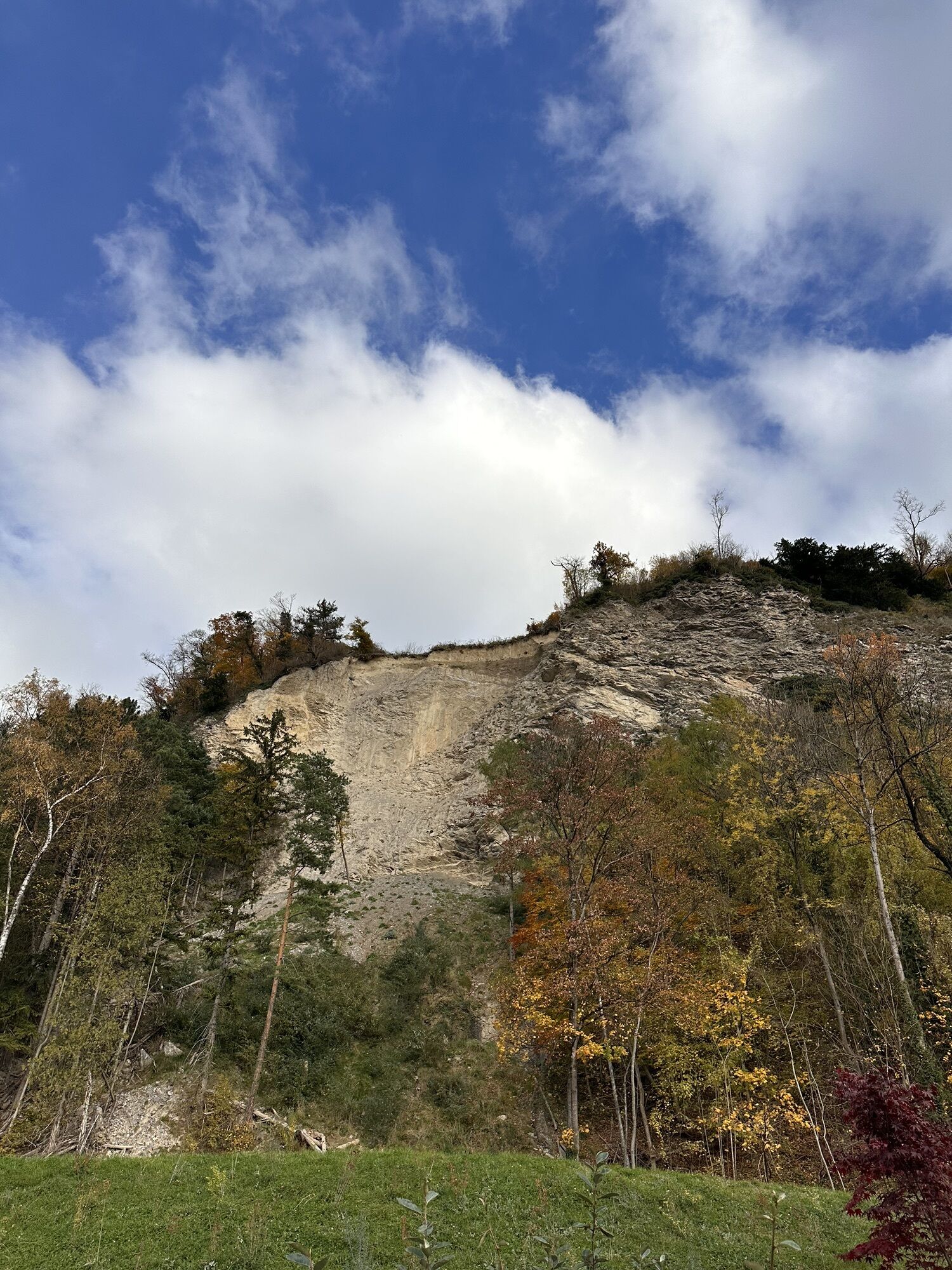
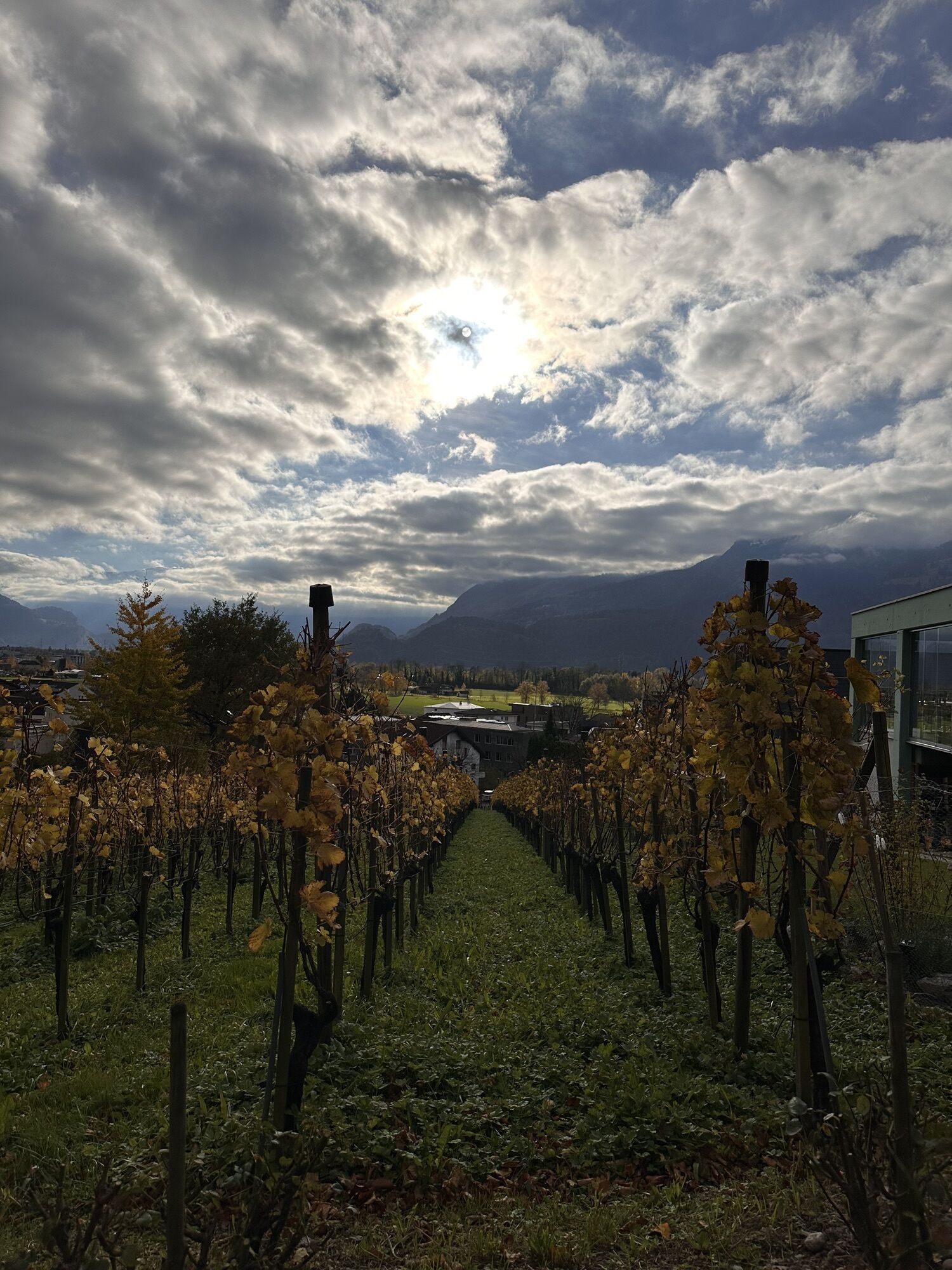


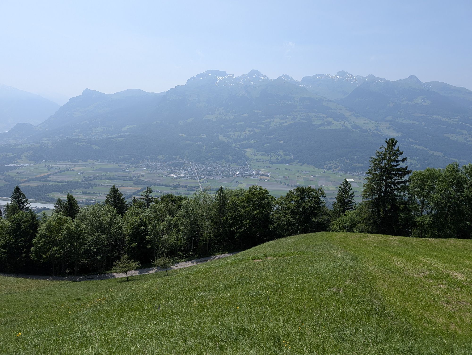
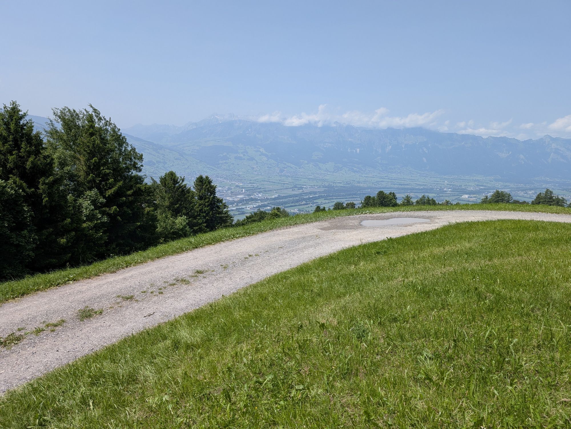
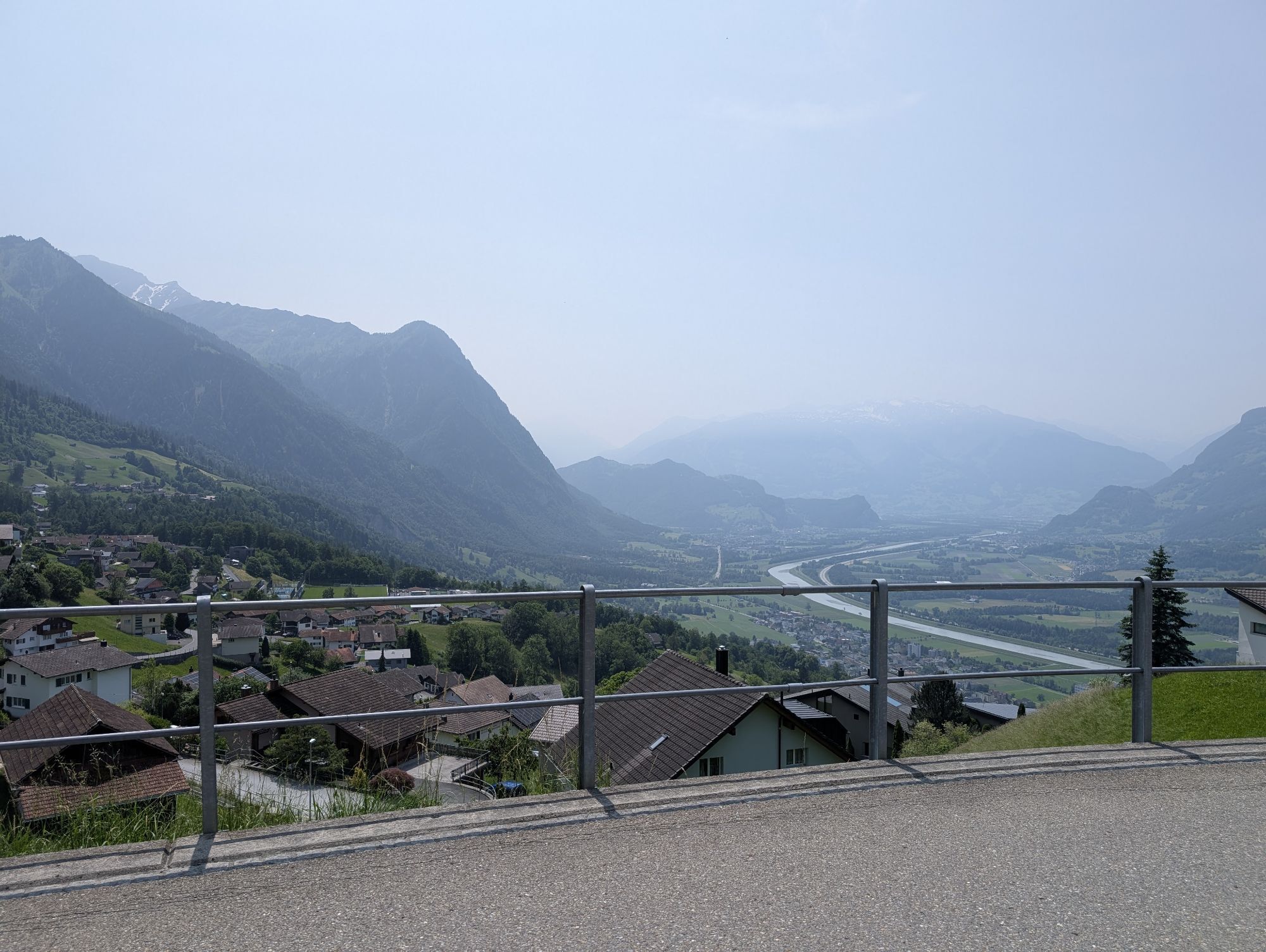
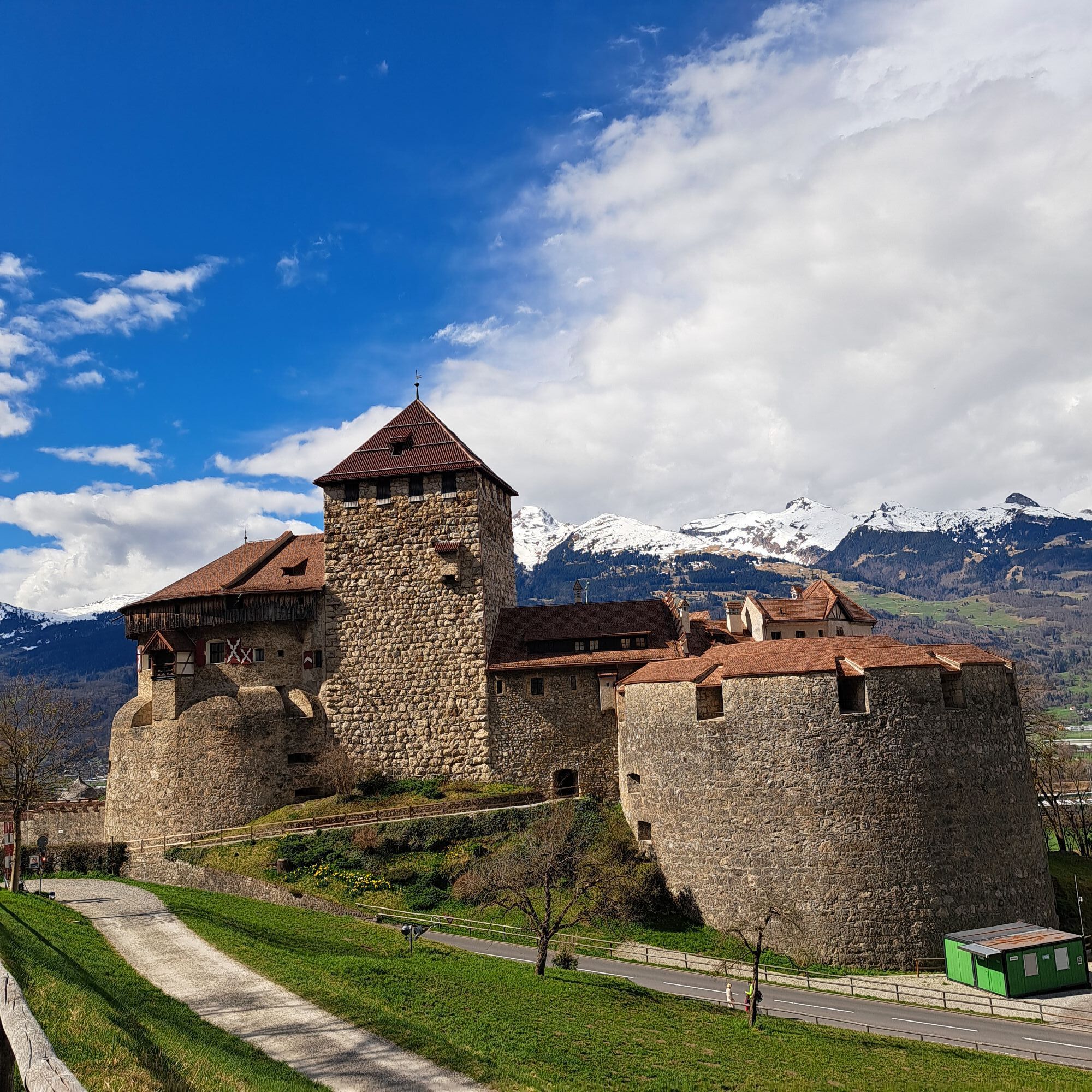
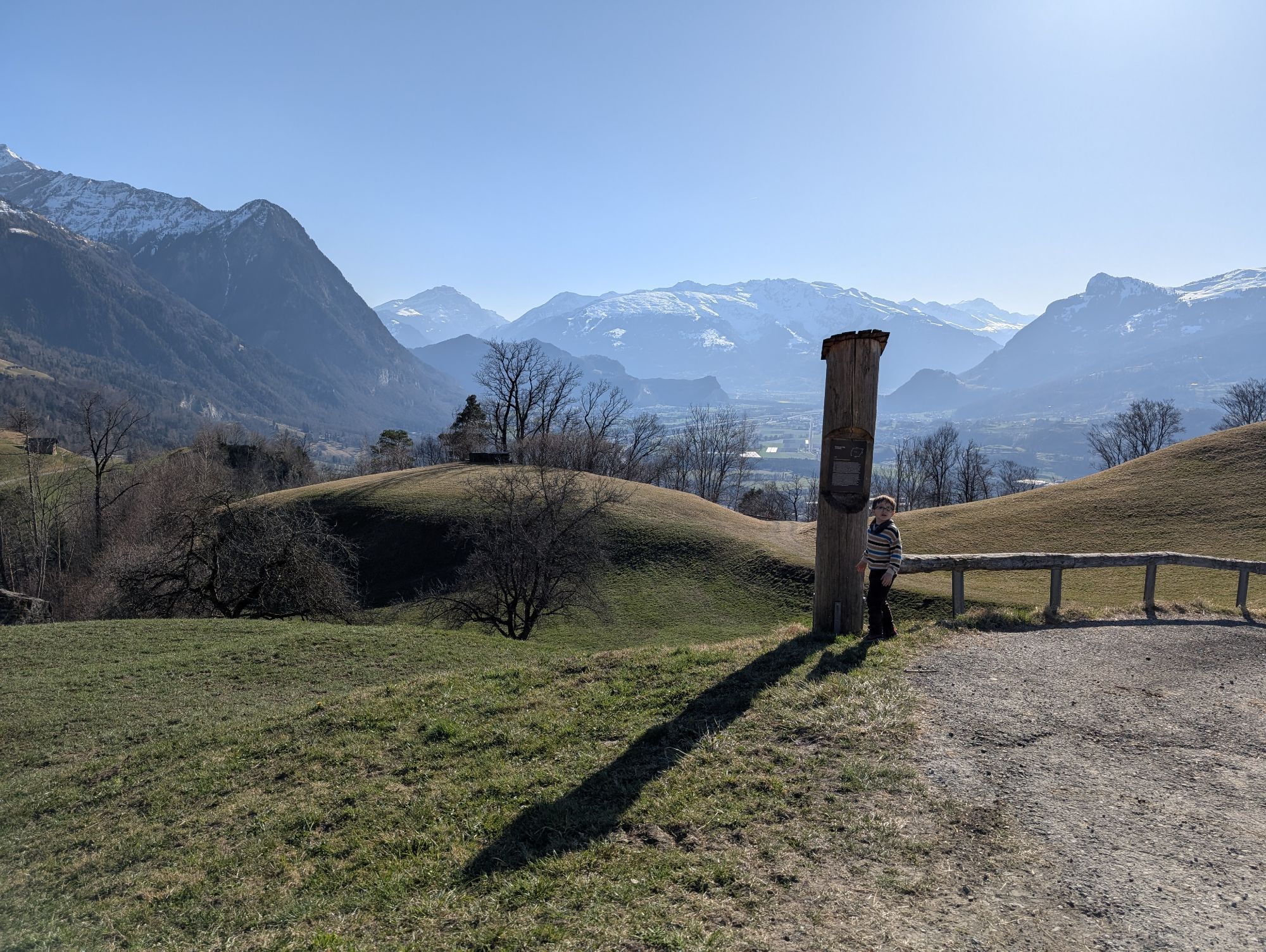
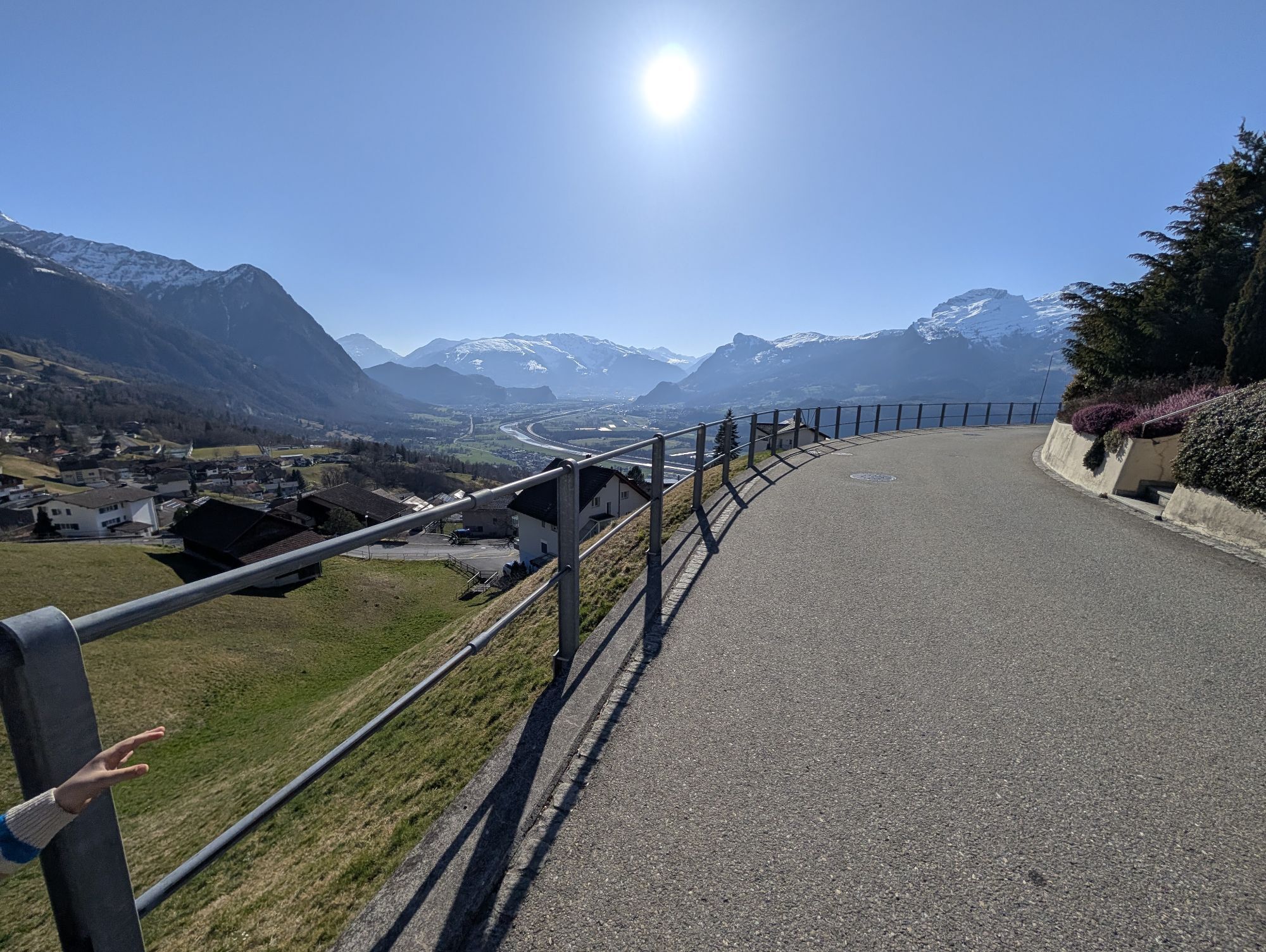
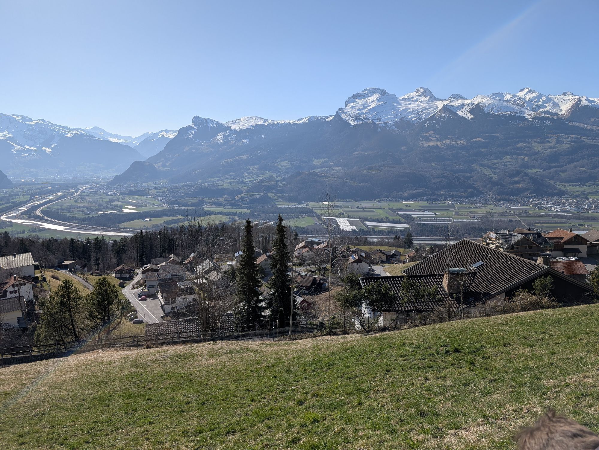
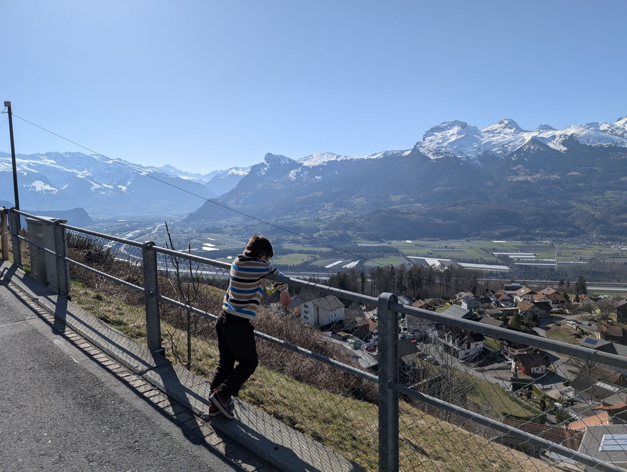
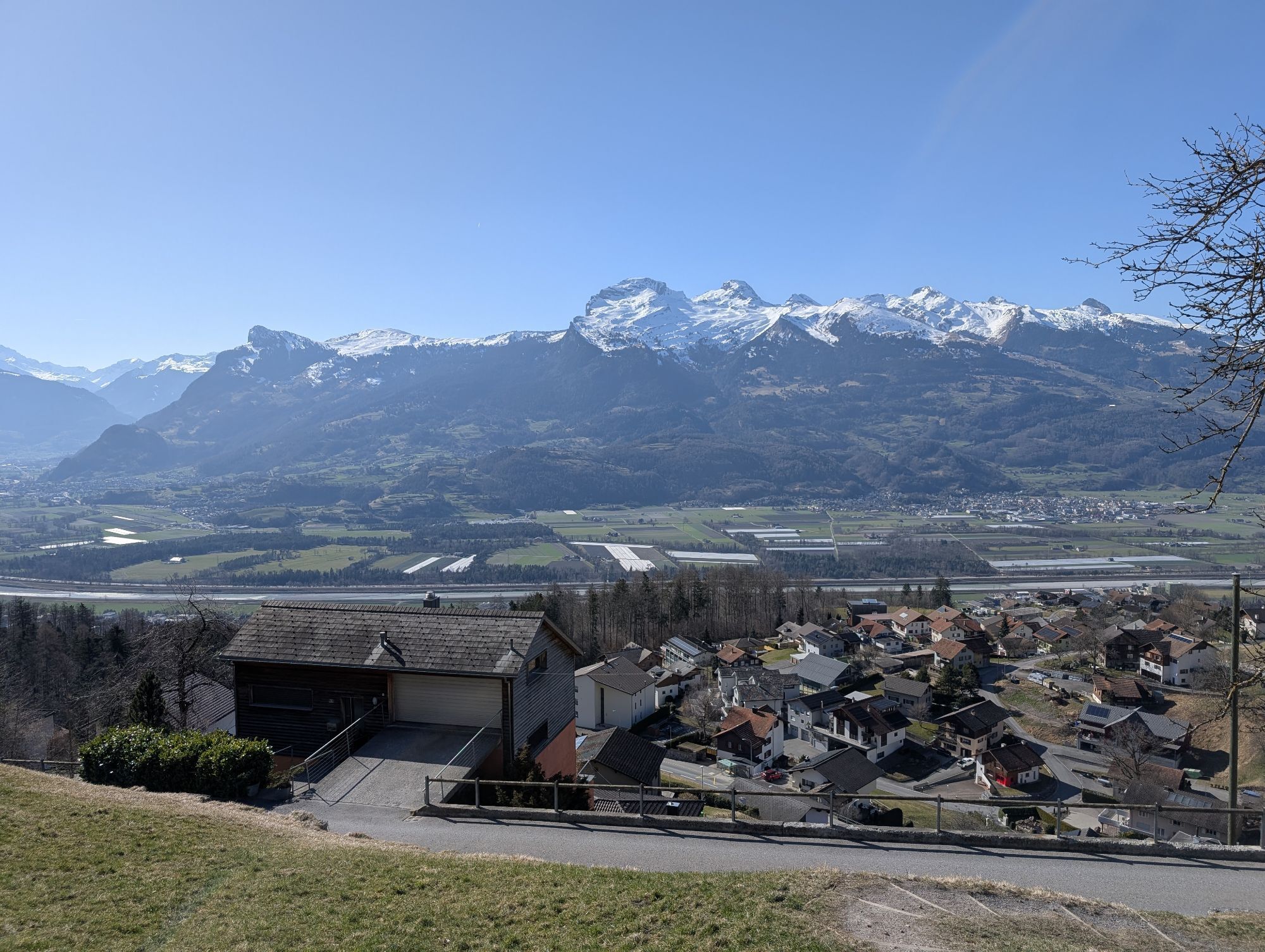
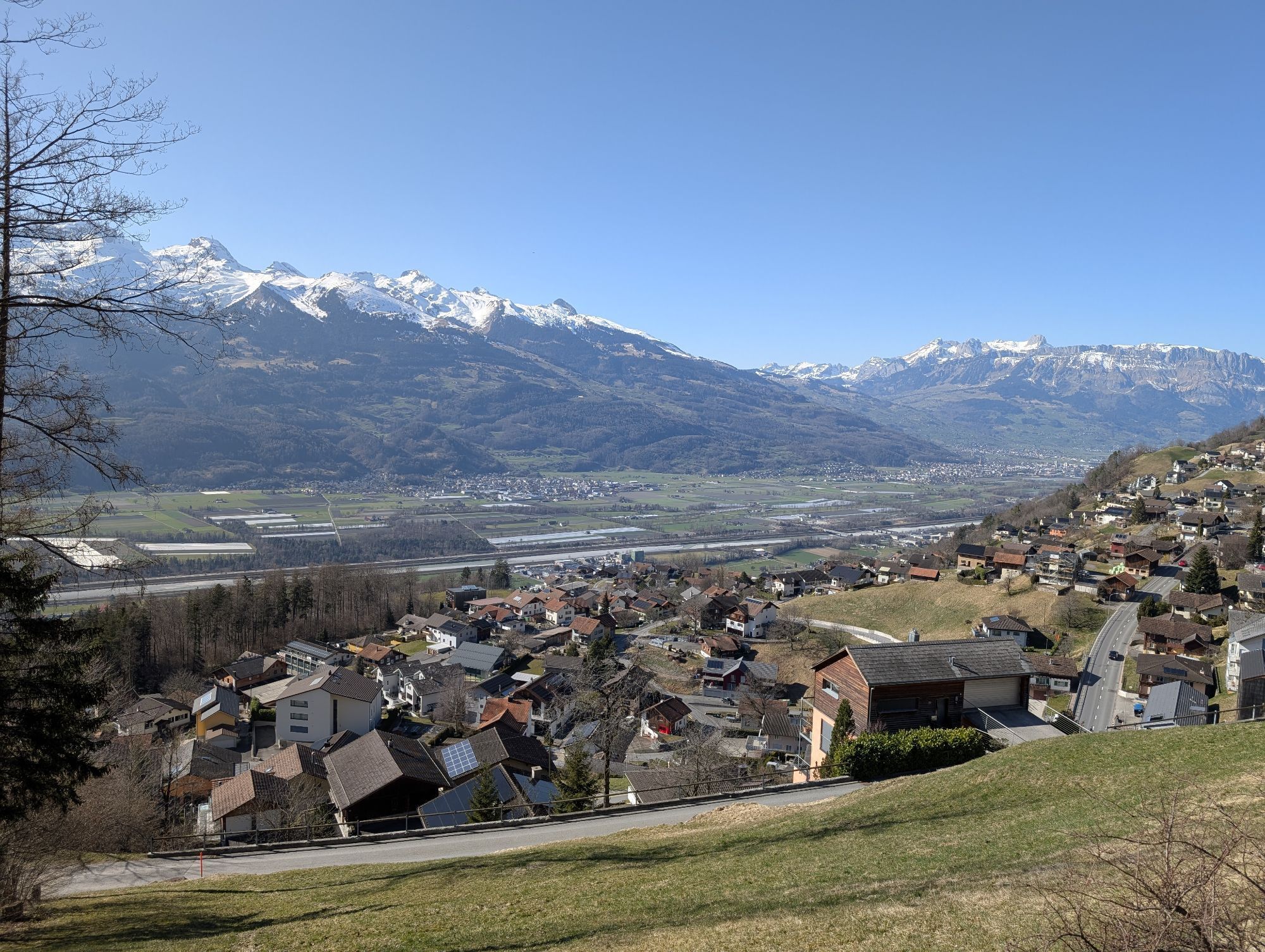
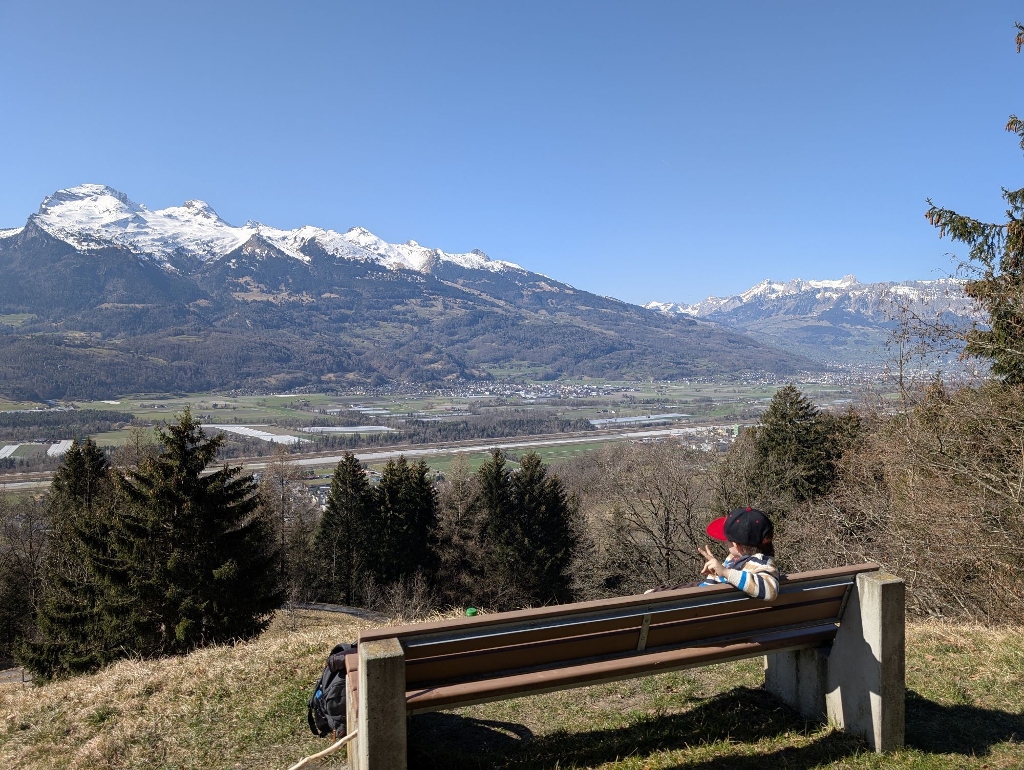
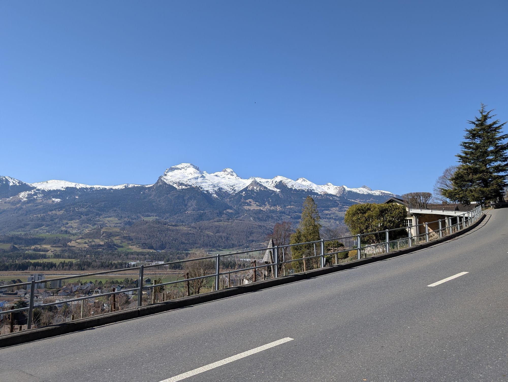

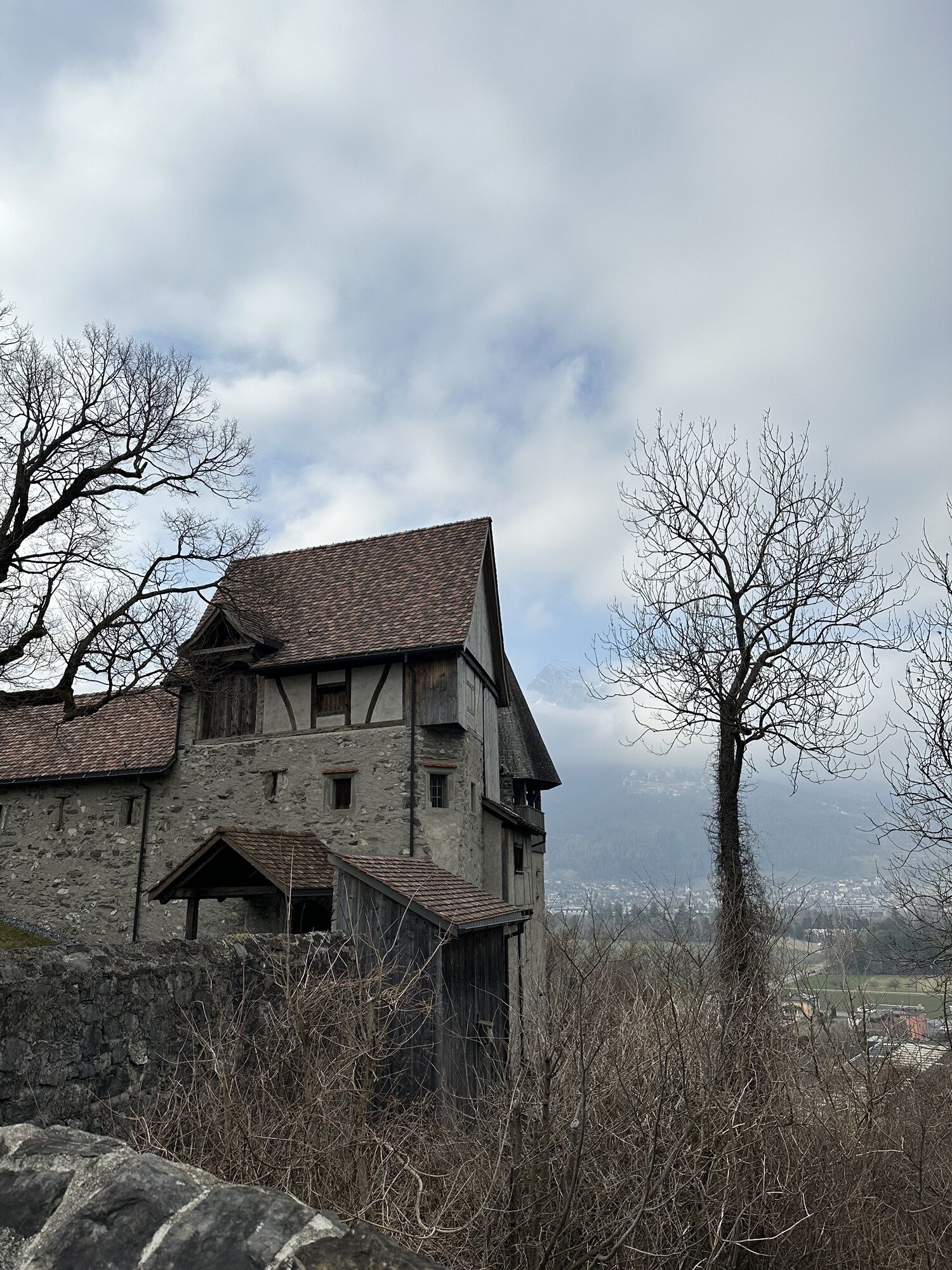
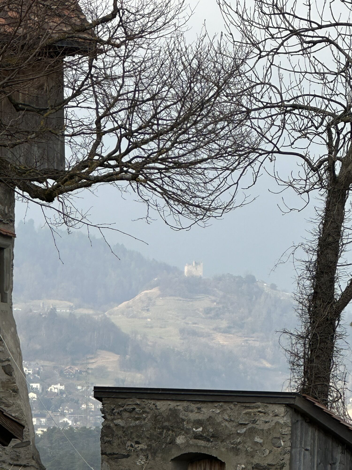
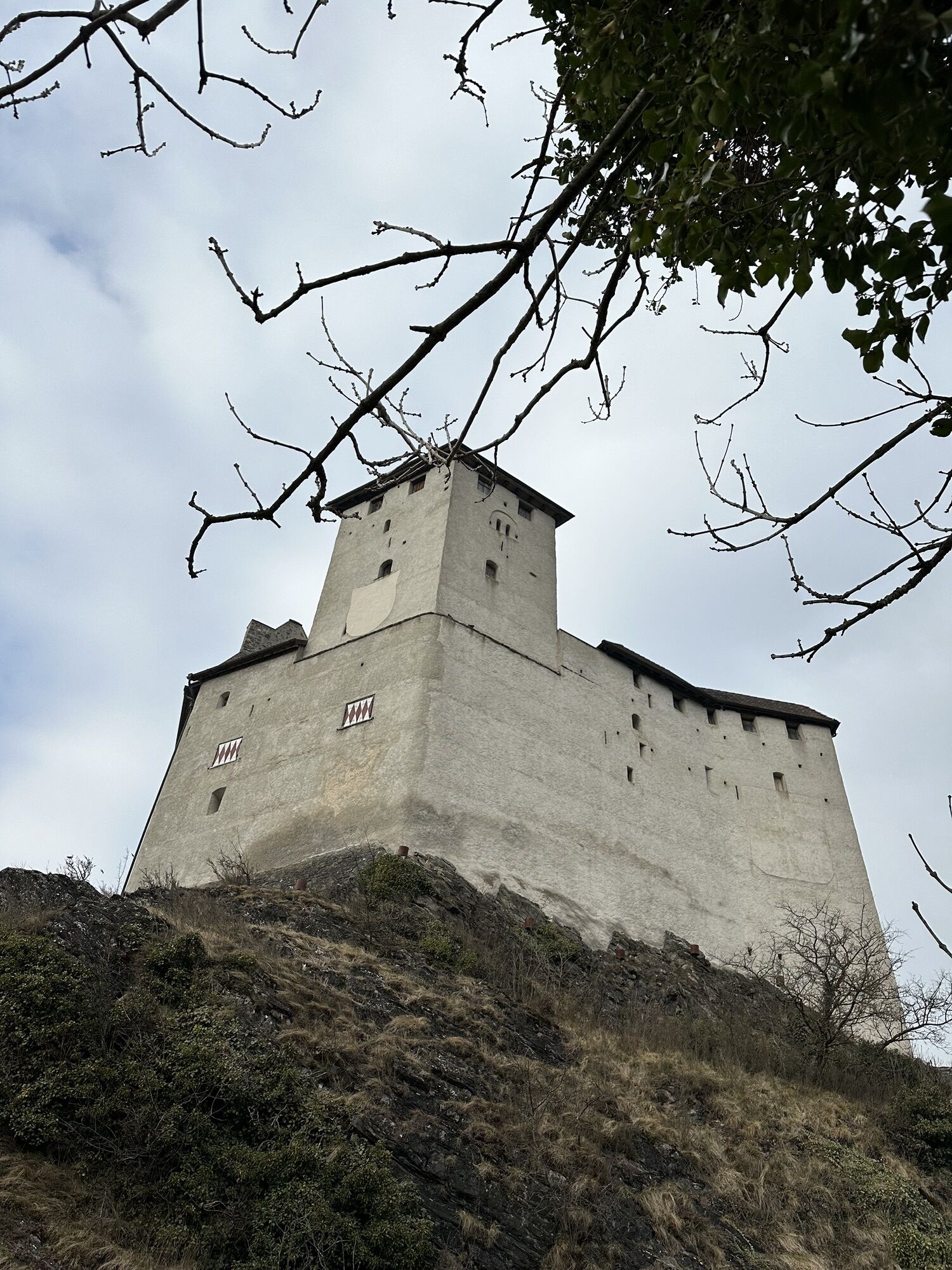
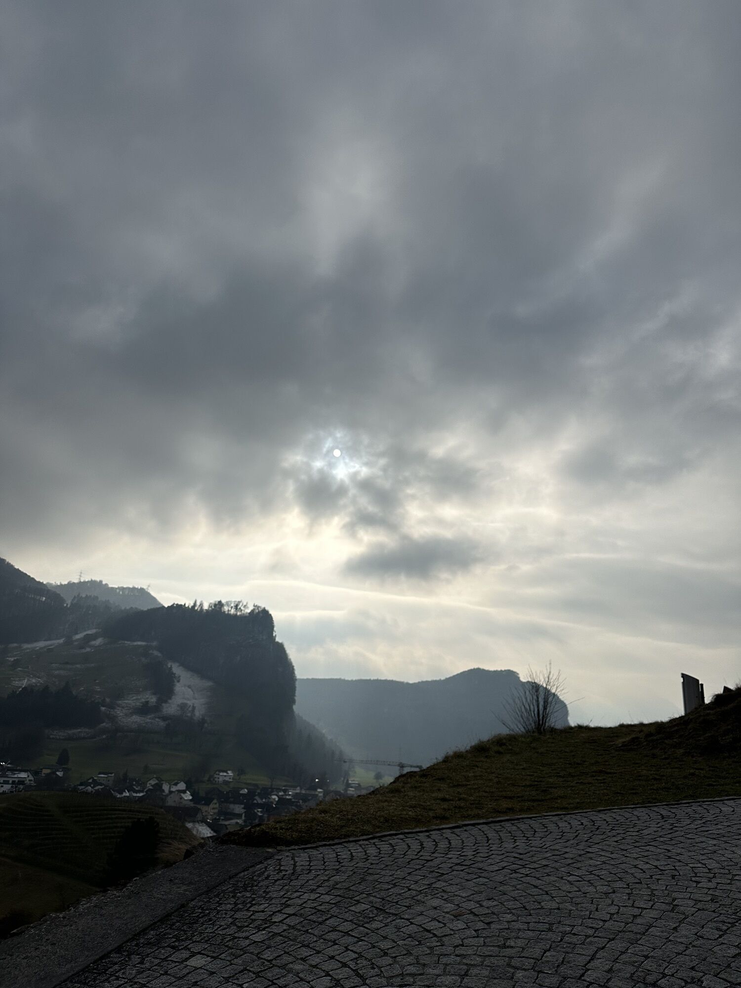
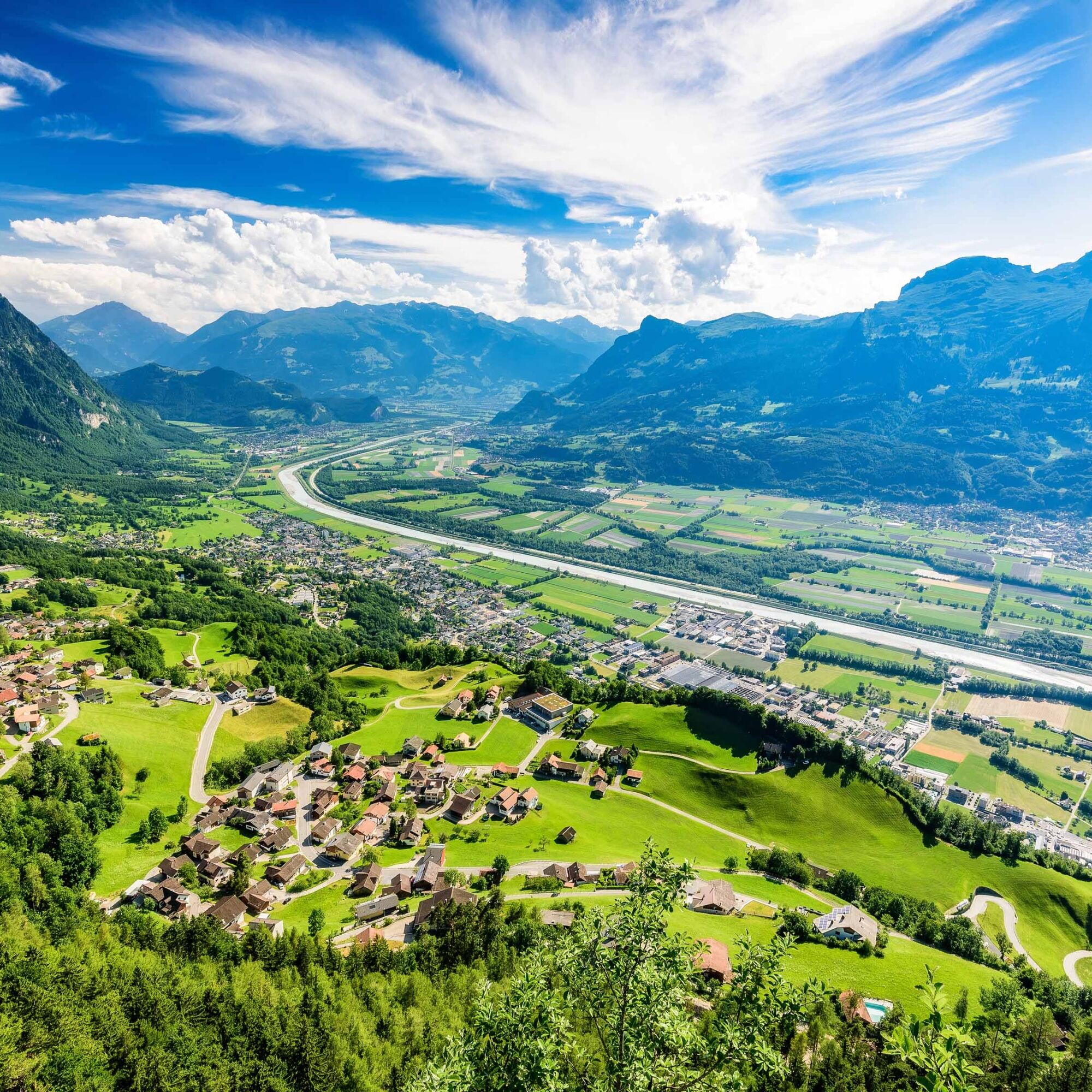
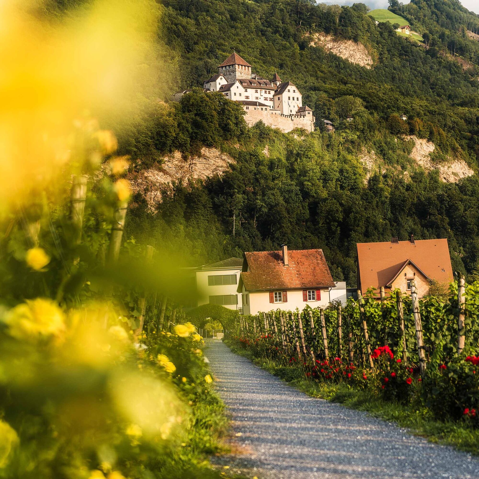
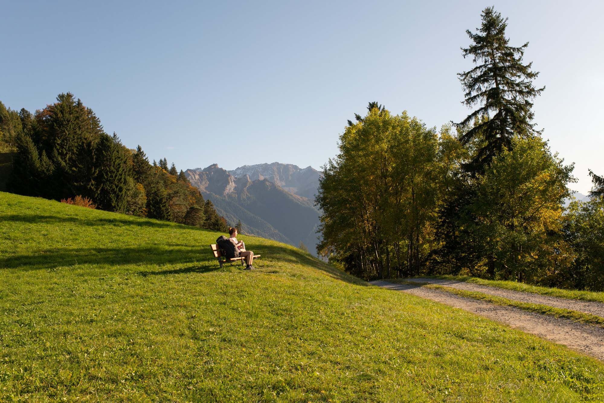
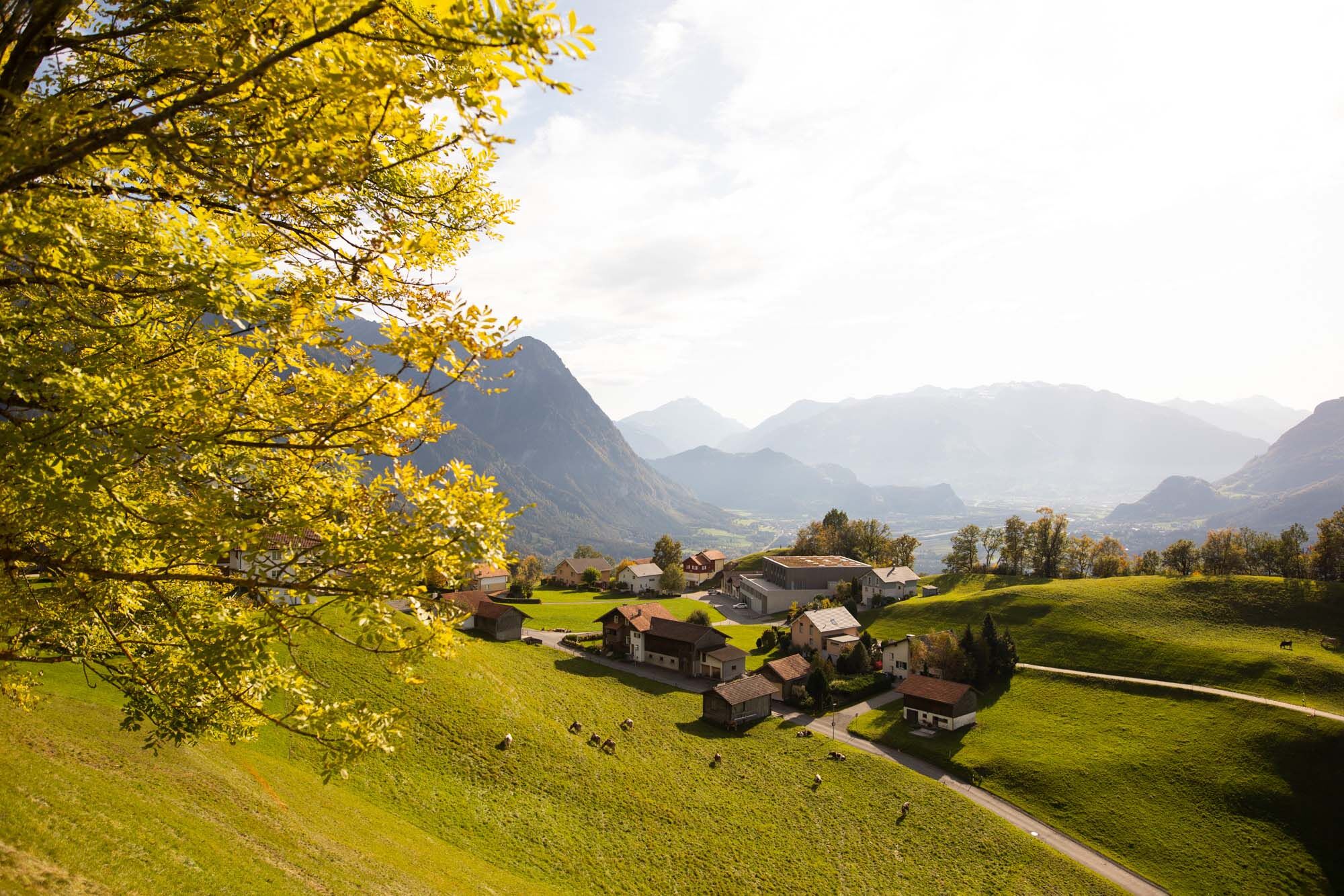
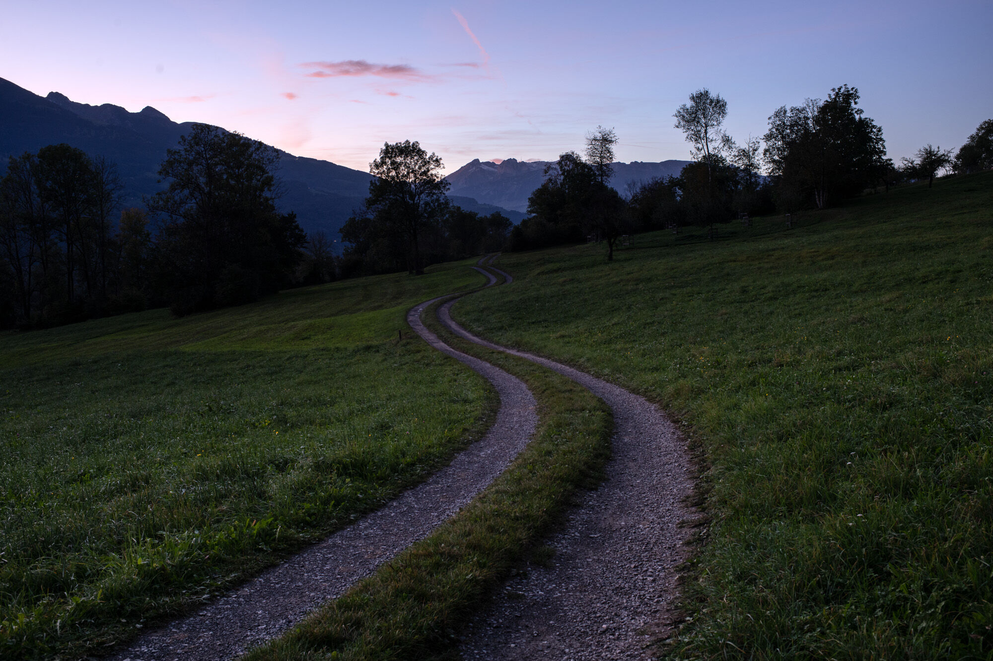
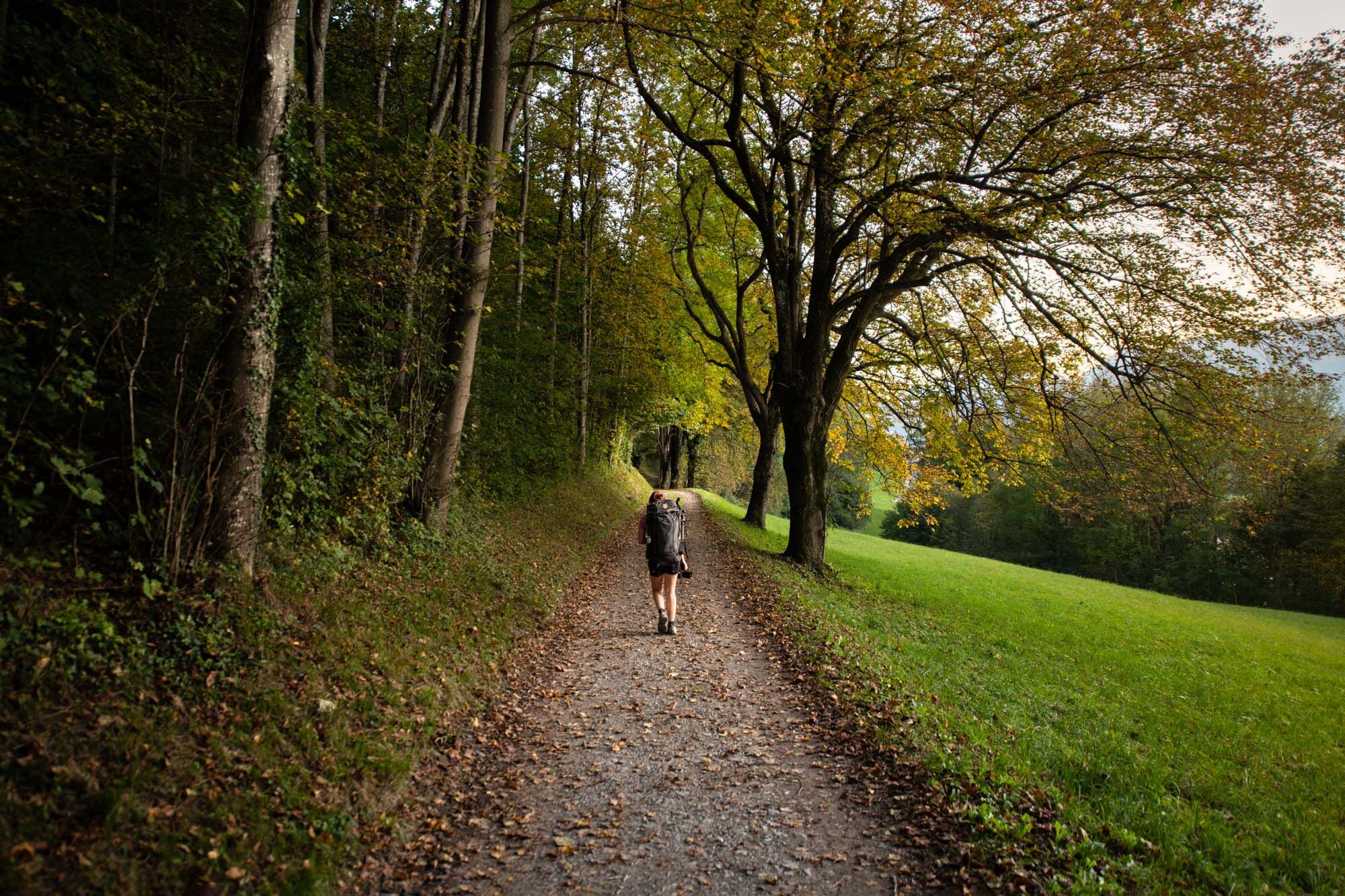
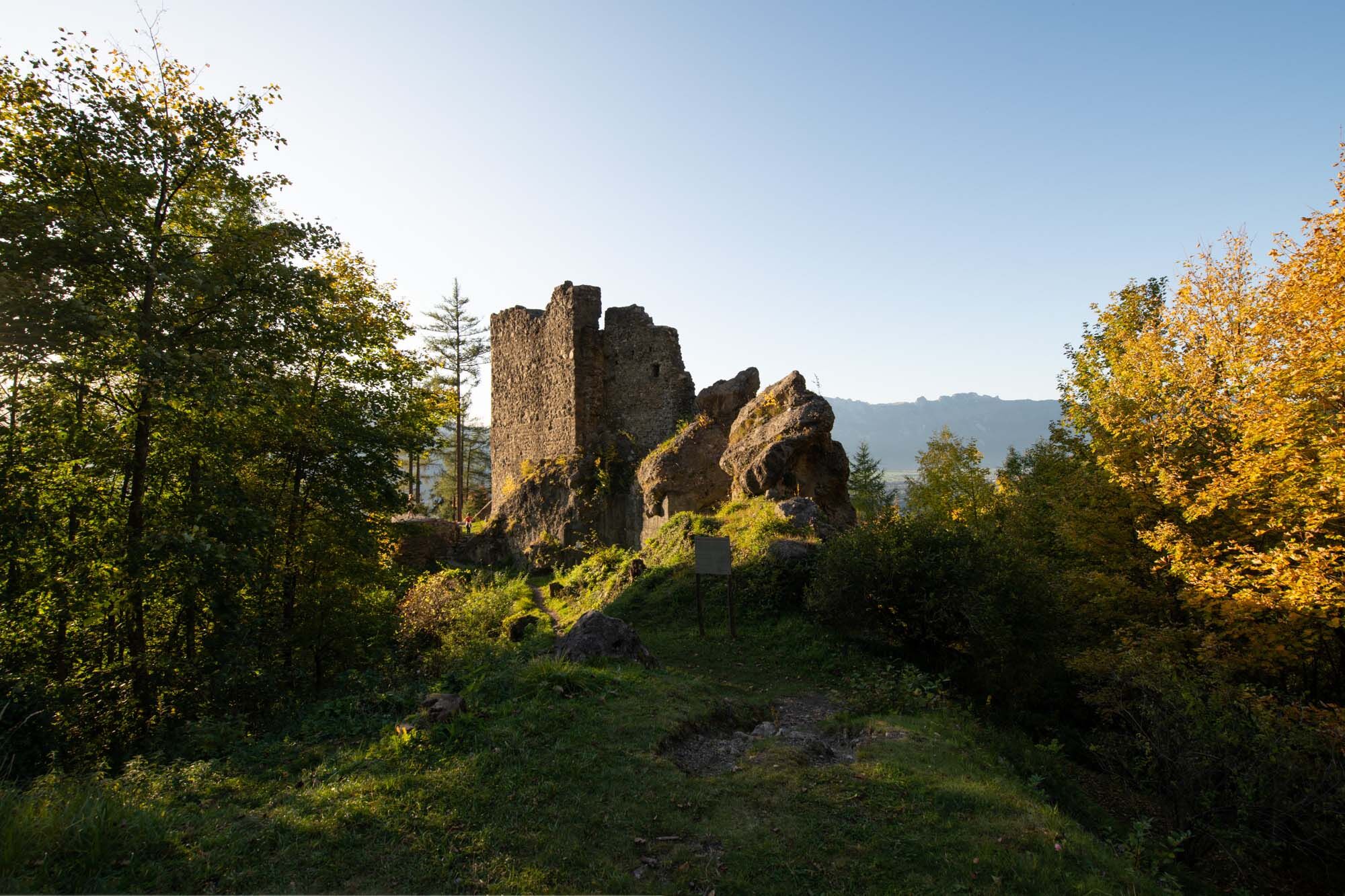
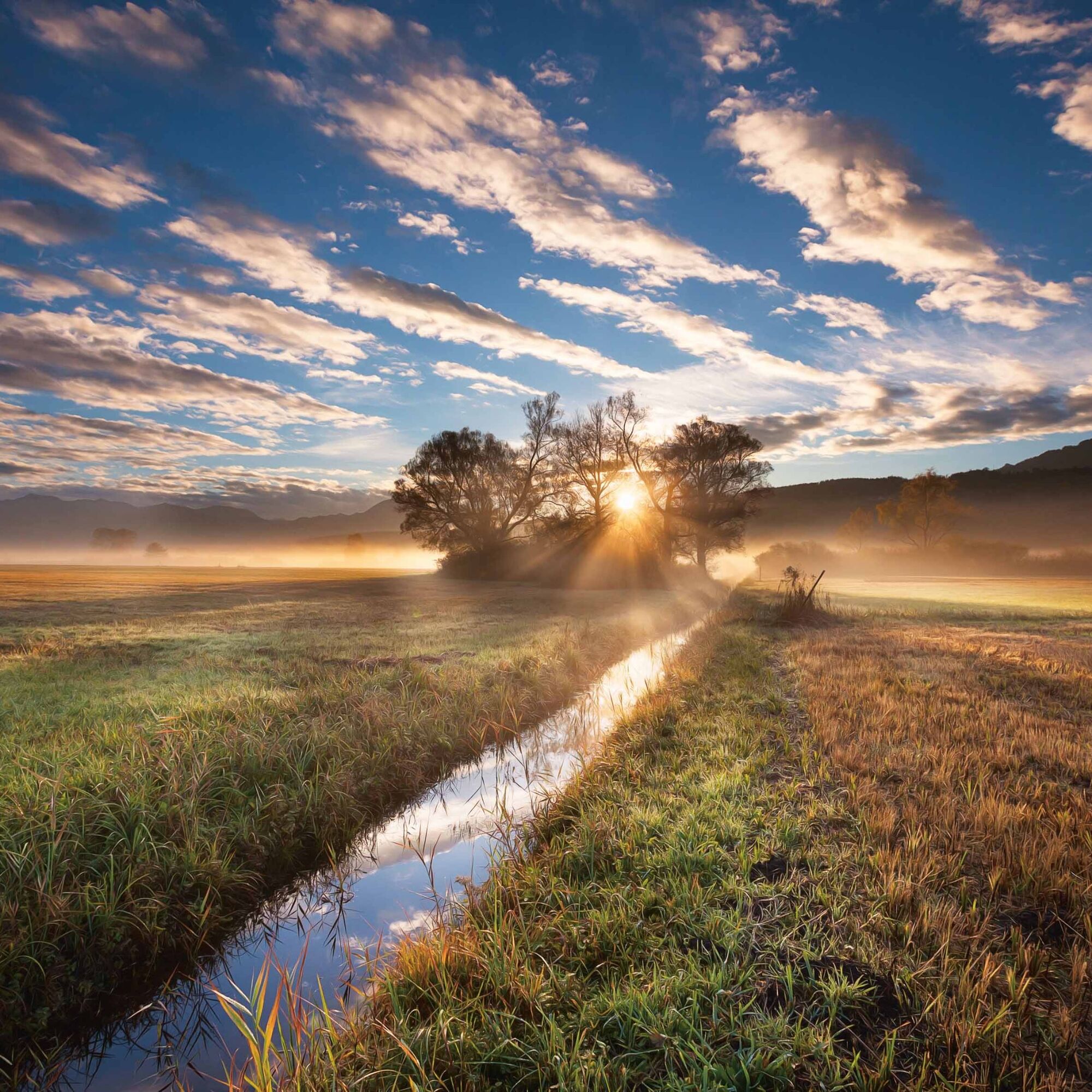
In the Principality of Liechtenstein, hikers can walk through an entire country on the Liechtenstein Path within a few days and get to know it in all its depth. The Liechtenstein Path runs 75 kilometers...
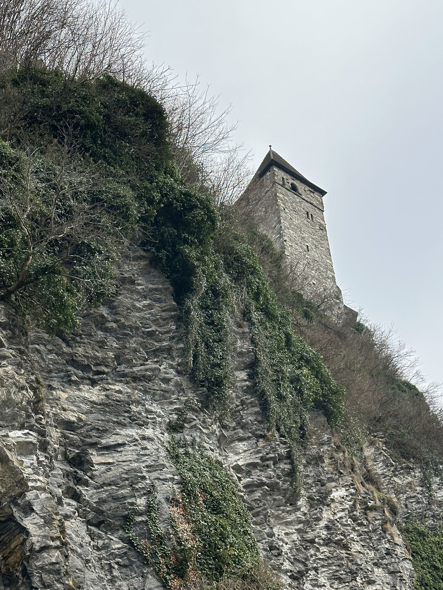
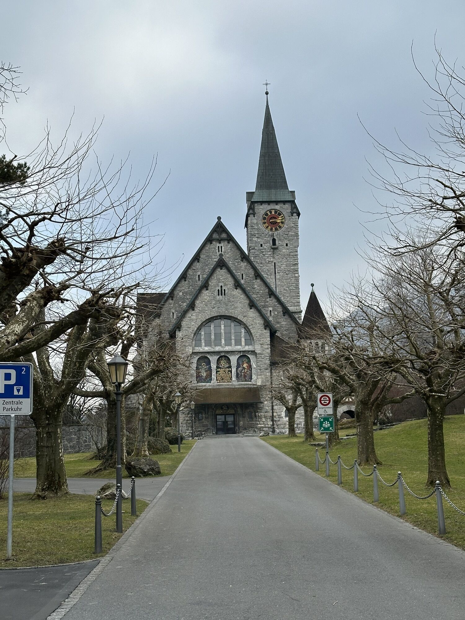
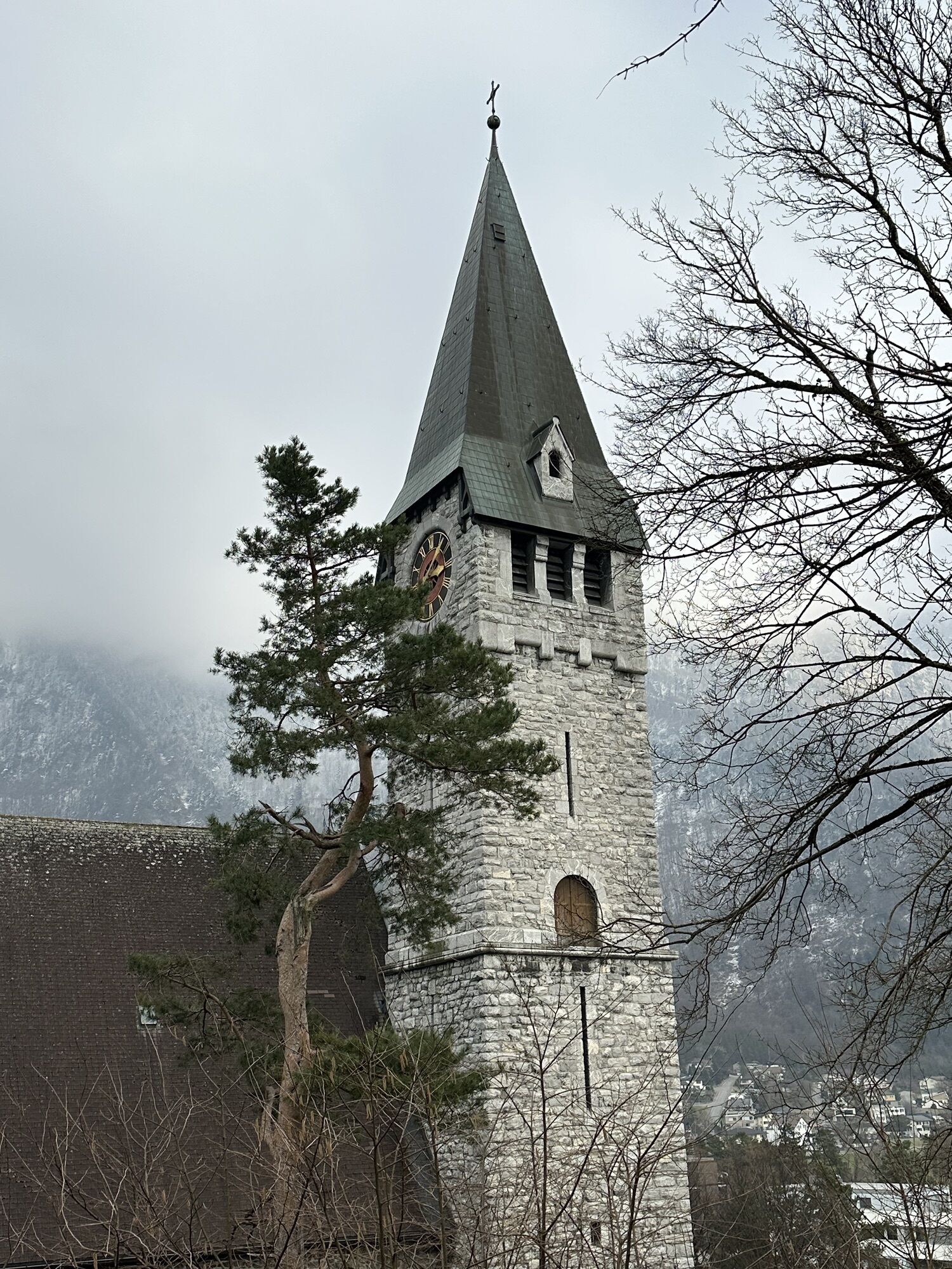
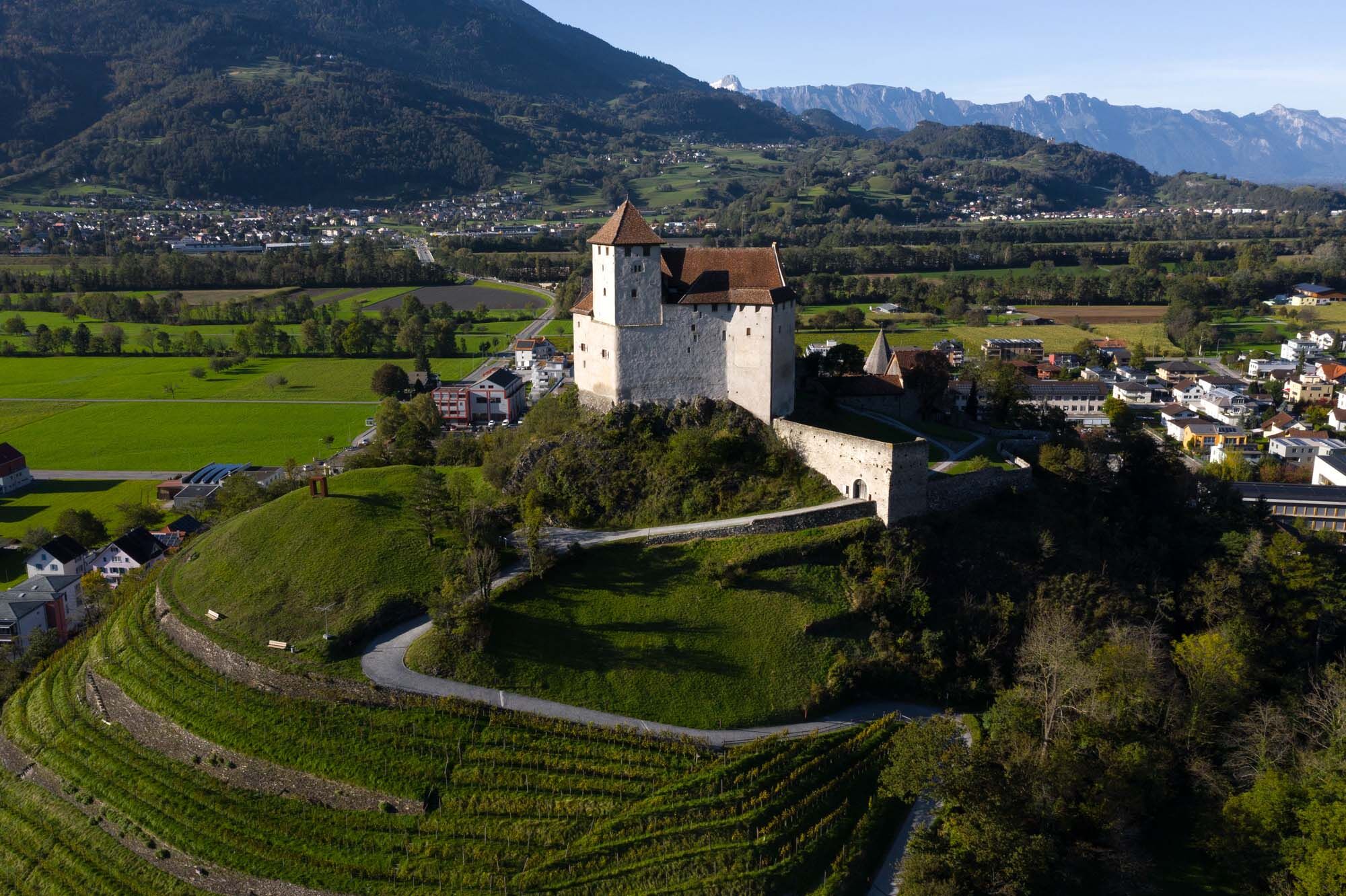
In the Principality of Liechtenstein, hikers can walk through an entire country on the Liechtenstein Path within a few days and get to know it in all its depth. The Liechtenstein Path runs 75 kilometers through all 11 municipalities of the country, past idyllic vineyards, nature reserves, old village centers, many sights, and is peppered with magnificent views.
The special feature: The path not only connects the most beautiful and exciting places of the country but also tells the history of the principality with the help of an innovative app. The app "LIstory" guides the user from one experience station to the next, thereby defining the course of the hike. To digitally and experience-oriented present historical sites and events, the app also uses augmented reality content. This way, young and old alike are equally addressed. The start of the Liechtenstein Path is possible in every municipality, and the direction of travel – from north to south or vice versa – can vary. But even without the app "LIstory," the sights and natural beauties of the Liechtenstein Path can be enjoyed thanks to good, conventional signage.

Ano
To undertake a route, careful planning is required. We recommend that you consult local information centers in advance about the trails and weather conditions. Depending on the season and weather, this route may be closed or interrupted.
from St. Gallen via the A13 motorway (approx. 45 minutes)
from Zurich via the A3 to Sargans, then onto the A13 (approx. 1 hour)
from Munich via the A96, in Austria onto the A14 (approx. 3 hours)
from Innsbruck via the A12, S16 and then A14 (approx. 2.5 hours)
International train connections ensure comfortable travel to Liechtenstein. At the train stations Sargans, Buchs/SG, and Feldkirch, simply switch to Liechtenstein's well-developed bus network (LIEmobil) and conveniently reach your holiday destination.
Timetables:
Swiss train timetable
Austrian train timetable
Liechtenstein bus timetable
T2
Overnight offers
6 days and 5 nights on the Liechtenstein Path
3 days and 2 nights on the Liechtenstein Path
Luggage transport service:
If you want to enjoy the Liechtenstein Path carefree, you don't want to burden yourself unnecessarily with travel luggage. When you book one of the overnight offers, the luggage transport service is included.
Accommodation options along the path
Be it in the capital Vaduz or in the other municipalities along the Liechtenstein Path: The range of hotels in the Principality of Liechtenstein is diverse. From luxury hotels to family hotels, you are sure to find something for yourself.
Discover the history of Liechtenstein in a new way with the free app "LIstory"
Webové kamery z prohlídky
Stausee Steg
Hoher Kasten - Drehrestaurant
Hoher Kasten - Drehrestaurant
Hoher Kasten
Hoher Kasten
Hoher Kasten
Hoher Kasten
Hoher Kasten
Hoher Kasten
Hoher Kasten
Hoher Kasten
Feldkirch
Schilift Bazora
Schilift Bazora
Frastanz / Amerlügen
Feldkirch / Nofels
Feldkirch / Bangs
Masescha
Bazora
Feldkirch / Gisingen
Feldkirch / Gisingen
Feldkirch / Nofels
Frastanz
Feldkirch / Nofels
Balzers
Balzers
Malbun
Hoher Kasten - Rheintal
Hoher Kasten - Rheintal
Hoher Kasten - Rheintal
Hoher Kasten - Rheintal
Hoher Kasten - Rheintal
Hoher Kasten - Rheintal
Hoher Kasten - Rheintal
Hoher Kasten - Rheintal
Vorderälpele
Steg Grund
Steg Bachschlaufe
Oblíbené prohlídky v okolí
- 4,7
Wasserauen - Seealpsee - Wasserauen
středníTuristika 7,71 km - 4,6
Tour Brülisau - Saxerlücke - Hoherkasten⛰
heavyTuristika 16,6 km - 4,9
Säntis-Gipfeltour, Wasserauen / Appenzell Innerrhoden
heavyTuristika 21,1 km - 3,8
Sassweg - von Malbun zum Sass-Seelein
Turistika 4,14 km - 3,7
Fürstin-Gina-Weg
Turistika 10,7 km - 4,6
To the summit cross of the Alpspitz
světloTuristika 6,27 km - 5,0
Staubern-Runde (15.8.2021)
středníTuristika 8,65 km - 4,8
From Malbun to the Schönberg
středníTuristika 12,4 km - 4,8
2 Seenwanderung Sämtisersee und Fälensee
středníTuristika 14,6 km - 3,5
Fürstensteig-Drei Schwestern
Turistika 12,9 km

Pěší turistika a stopování


Nenechte si ujít nabídky a inspiraci pro vaši příští dovolenou
Vaše e-mailová adresa byl přidán do poštovního seznamu.