© Terra Dinarica - planinarenje .ba
© Terra Dinarica - planinarenje .ba
© Terra Dinarica - planinarenje .ba
© Terra Dinarica - planinarenje .ba
© Terra Dinarica - planinarenje .ba

- Stručný popis
-
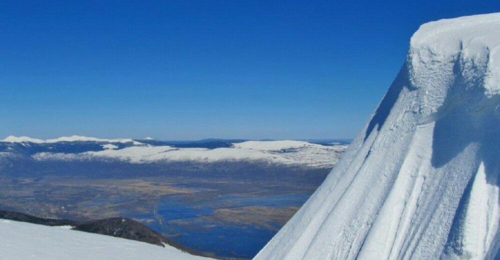
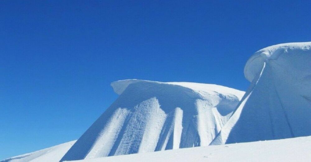
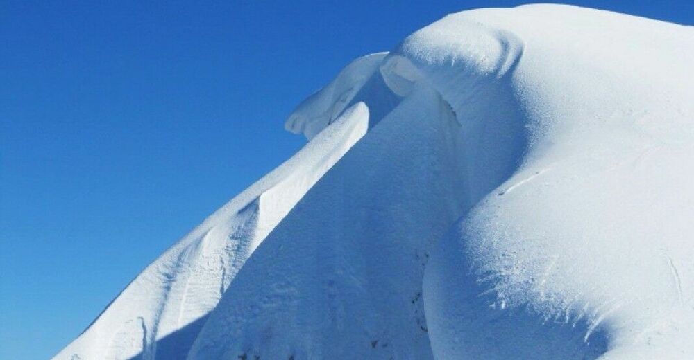
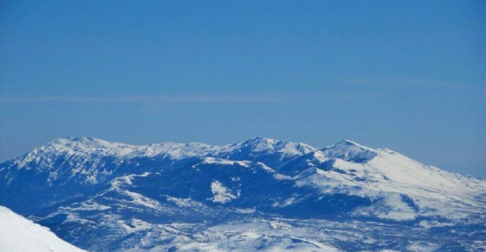
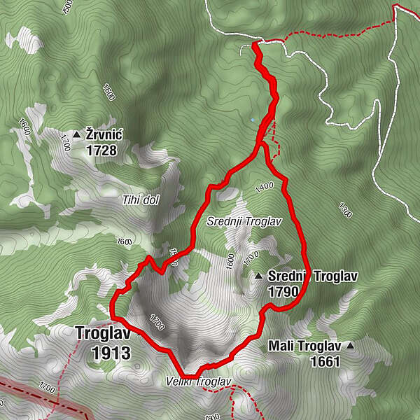
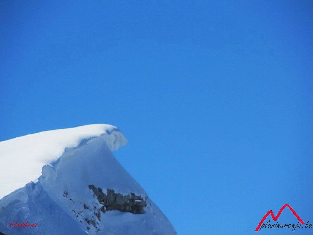
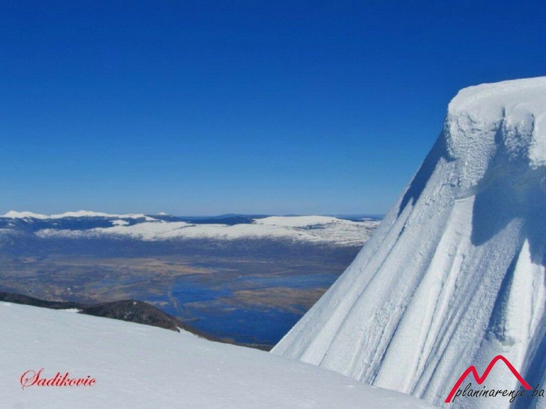
This trip to the highest peak of Mt Dinara, Troglav (1913 MASL), starts in Livno. It is possible to leave your vehicle in the village of Salkovac if the path is blocked because of snow - during certain times of year, caution is advised due to the risk of avalanches.
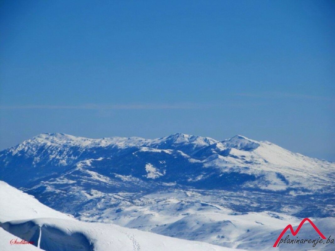
The route starts in the forest. If snow covers the markings, rendering them invisible, you can proceed in the direction of the leftmost peak and return via the "Mery” path. Immediately upon leaving the forest, a 5-hour walk will bring you to the first peak on the left side. You will reach your destination of Troglav after a 30-minute walk. When going back, stick to the same route. This route provides adequate training for climbing an even higher peak in the Alps or the Caucasus.
- Trasa
-
Troglav (1.913 m)2,8 km
- Nejvyšší bod
- 1.898 m
- Cílová destinace
-
Veliki Troglav
- Výškový profil
-
 © outdooractive.com


-

-
AutorProhlídka Troglav používá outdooractive.com na adrese ..