

© Glacier 3000 AG - Glacier 3000

- Stručný popis
-
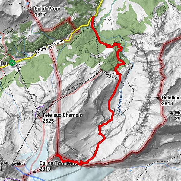
Physical 1700m + uphill hike, through varying landscapes from the green forests and waterfalls to the dry yellow rockis and the eternal snows of the glaciers.
- Obtížnost
-
těžké
- Hodnocení
-
- Trasa
-
Reusch0,0 km
- Nejlepší sezóna
-
ledúnobředubkvěčenčecsrpzářříjlispro
- Nejvyšší bod
- 3.055 m
- Cílová destinace
-
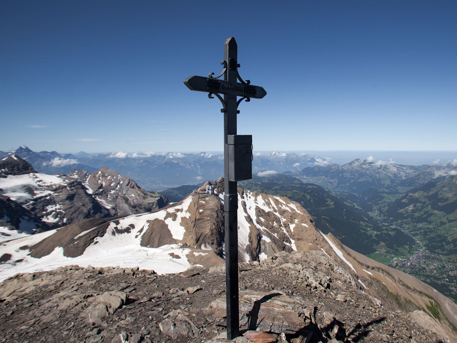
Oldenhorn (3’122 m)
- Výškový profil
-
 © outdooractive.com
- Autor
-
Prohlídka Reusch-Oldenhorn používá outdooractive.com na adrese ..
GPS Downloads


Obecné informace
Flora
Fauna
Slibný
Další výlety v regionech
-
Thyon les Collons
1435
-
Coteaux du Soleil
608
-
Gsteig bei Gstaad
170


