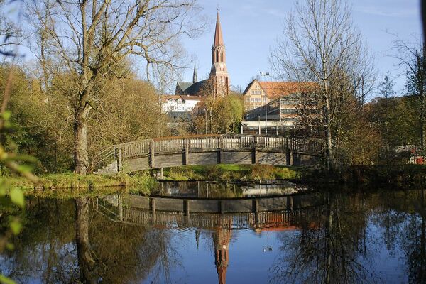
© Tyler Olson - Fotolia - Tyler Olson
Termíny turné
6,38km
546
- 677m
142hm
138hm
02:00h
- Stručný popis
-
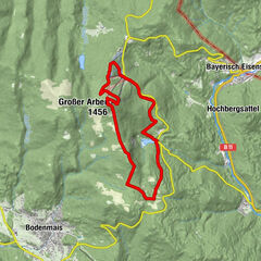
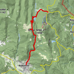
Startpunkt und Streckenverlauf:
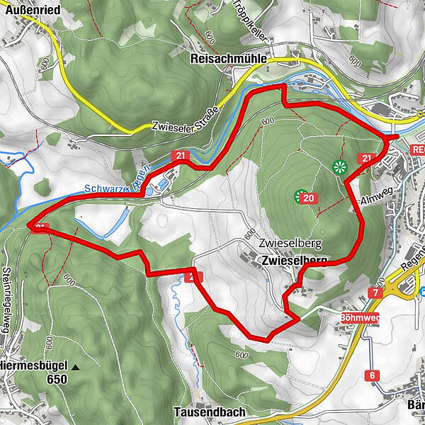
Parkplatz Festplatz – Flußwanderweg – Tausendbachl – Zwieselberg – Zwieseler Alm – Parkplatz Festplatz
Markierung: rot 21 - Obtížnost
-
snadno
- Hodnocení
-
- Výchozí bod
-
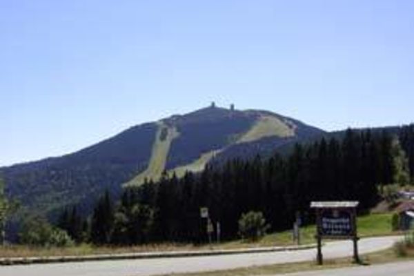
Parkplatz Festplatz in Zwiesel
- Trasa
-
ZwieselZwieselberg1,2 kmReisachmühle5,2 kmZwiesel6,2 km
- Nejvyšší bod
- 677 m
- Cílová destinace
-
Parkplatz Festplatz in Zwiesel
- Literatura
-
Wanderflyer kostenlos in der Touristinfo Zwiesel erhältlich
- Mapové podklady
-
Wanderkarte "Zwieseler Winkel" - mit GUTI Gästekarte kostenlos in der Touristinfo Zwiesel erhältlich

GPS Downloads


Další výlety v regionech
-
Bayerischer Wald
521
-
Zwiesel
209