


Hike : Tour du Mont de Cordon
Úroveň obtížnosti: T1
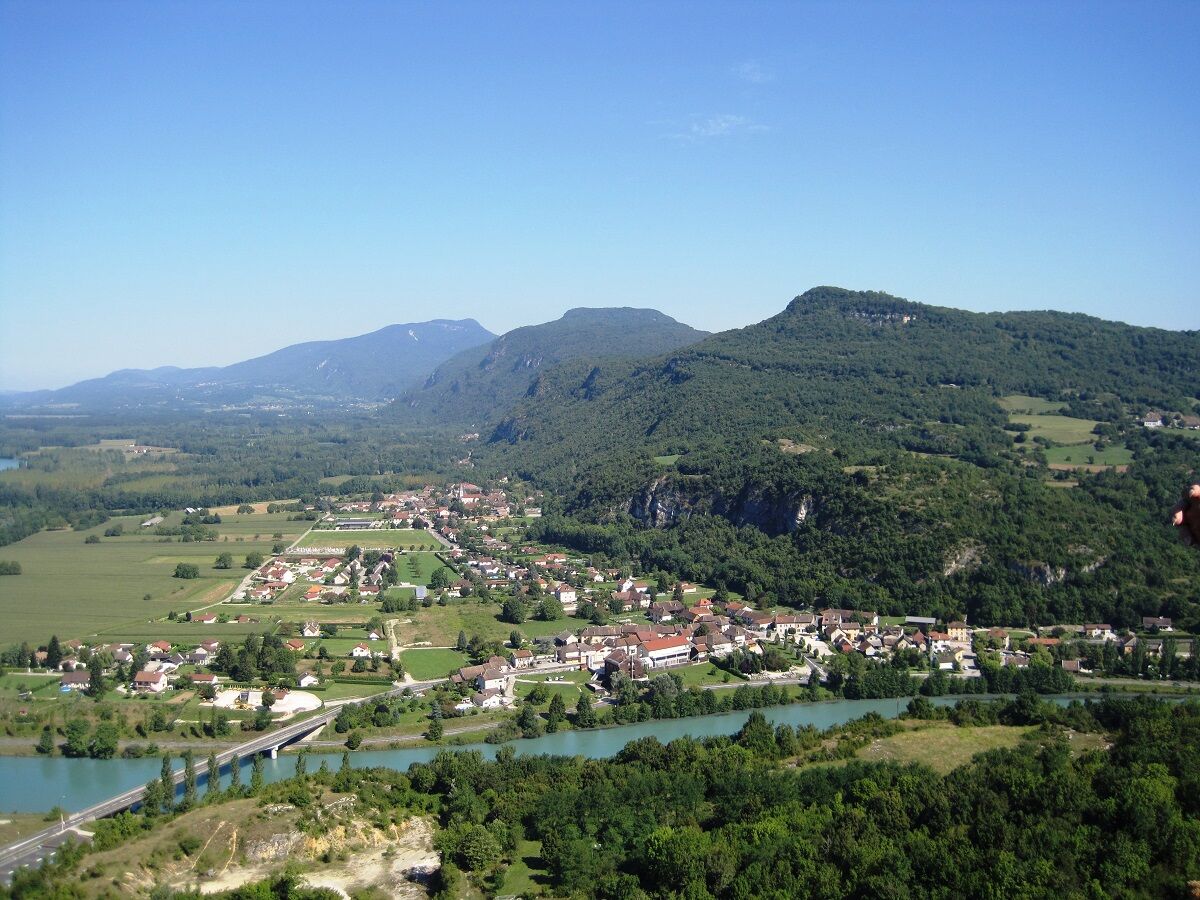
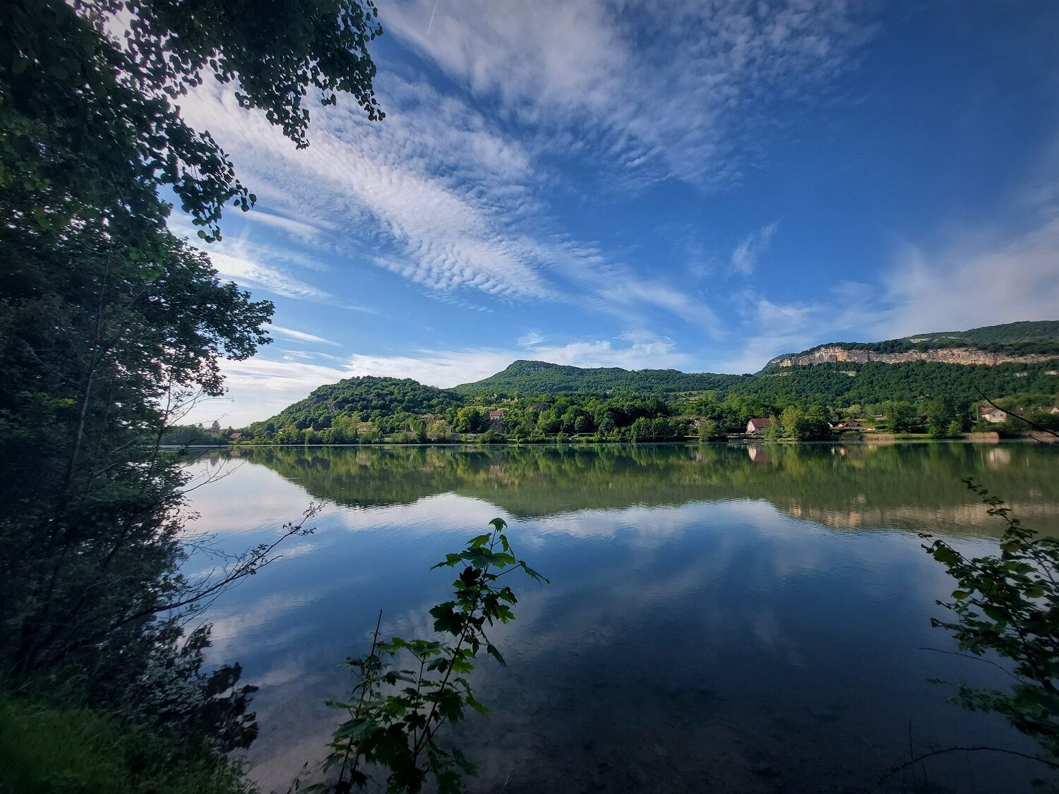
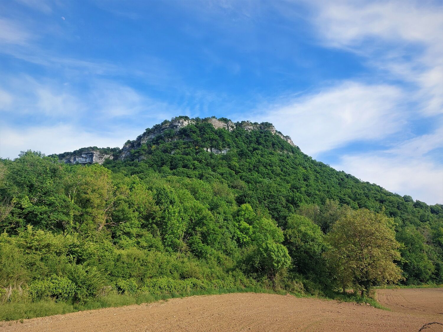
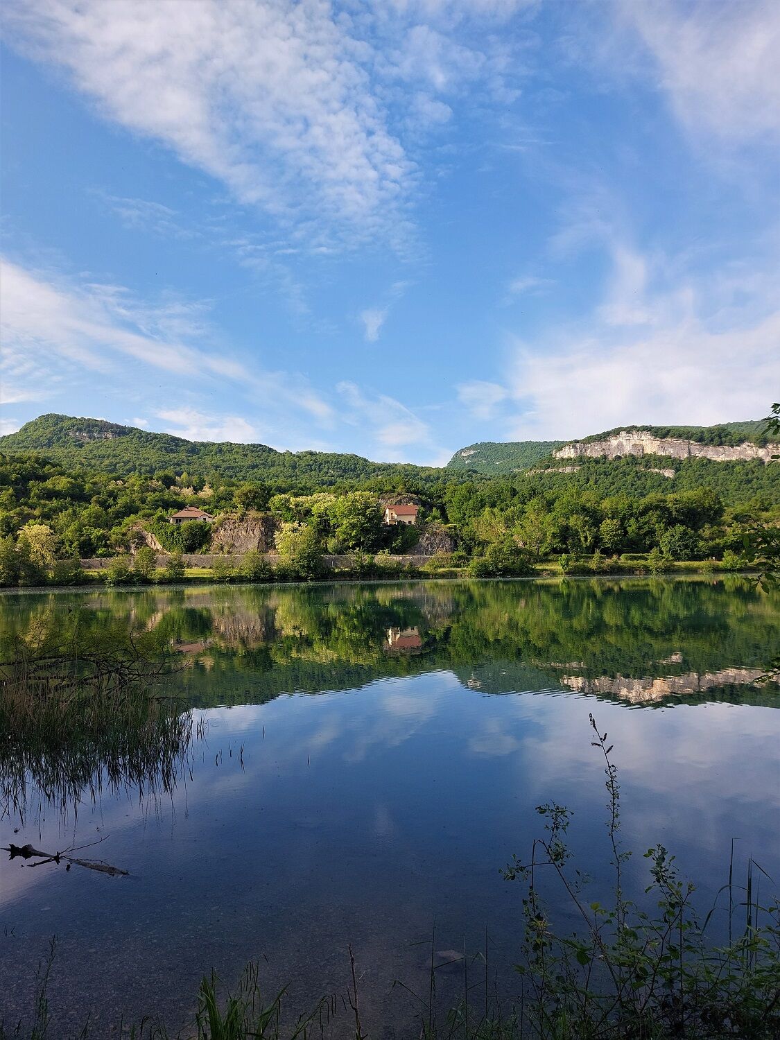
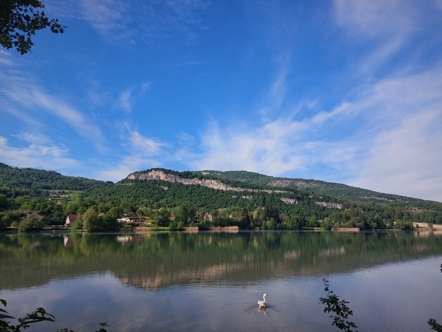
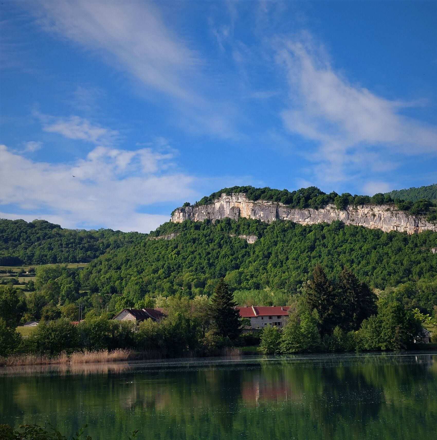
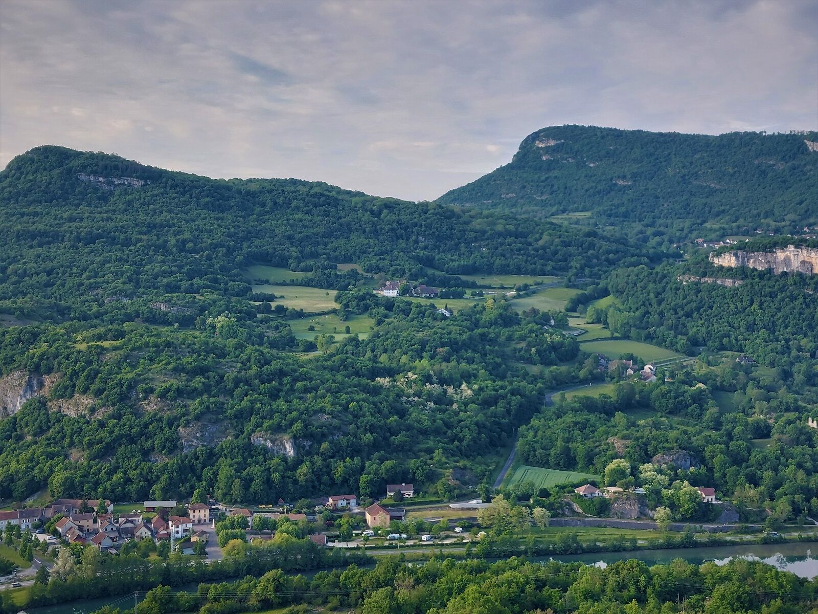
This short hike at the southern end of the Ain department on the border with Isère offers the possibility of going around the Mont de Cordon surrounded by the arms of the Rhône river.
The ascent allows...
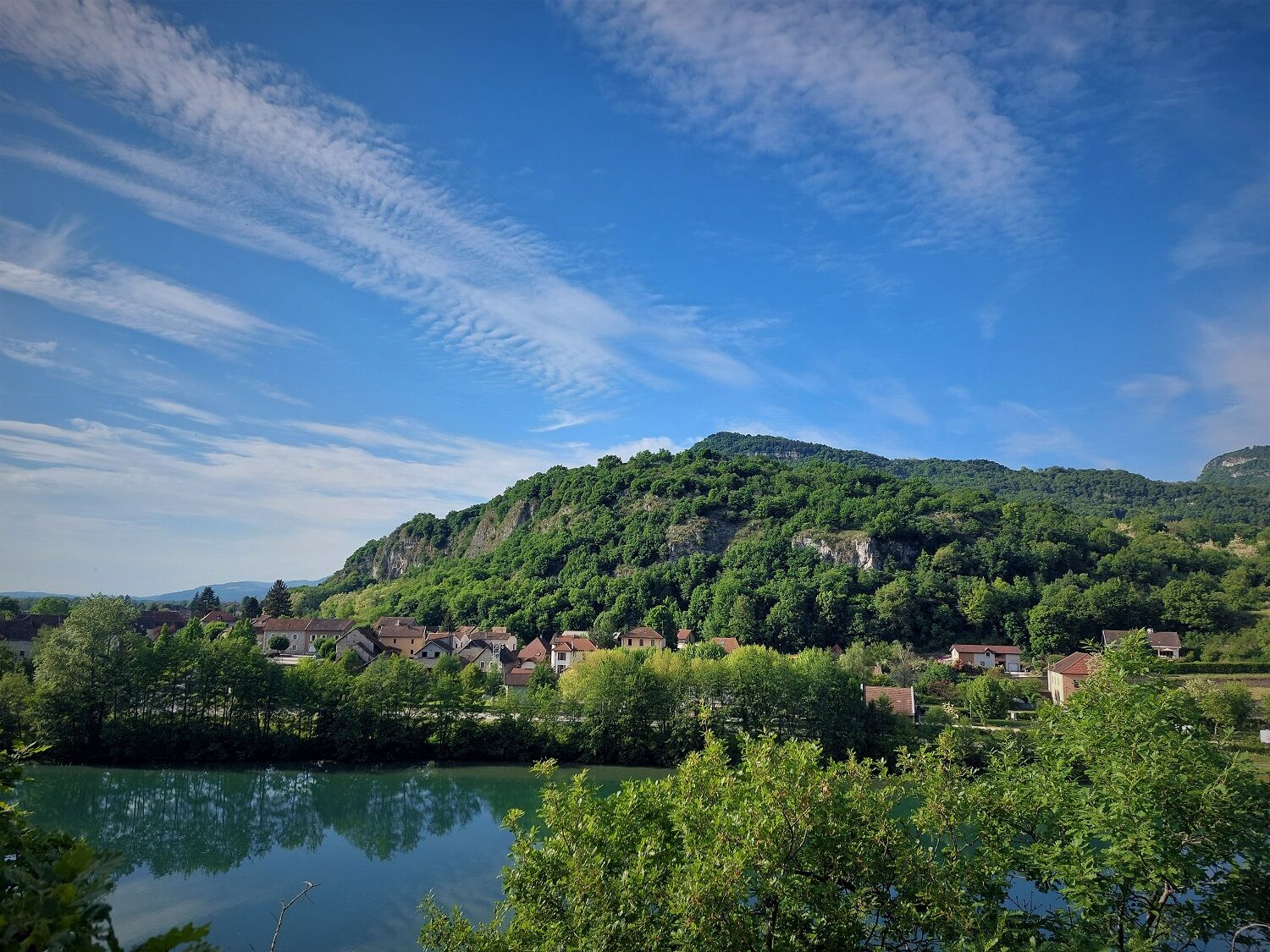
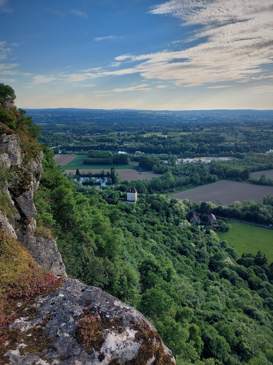
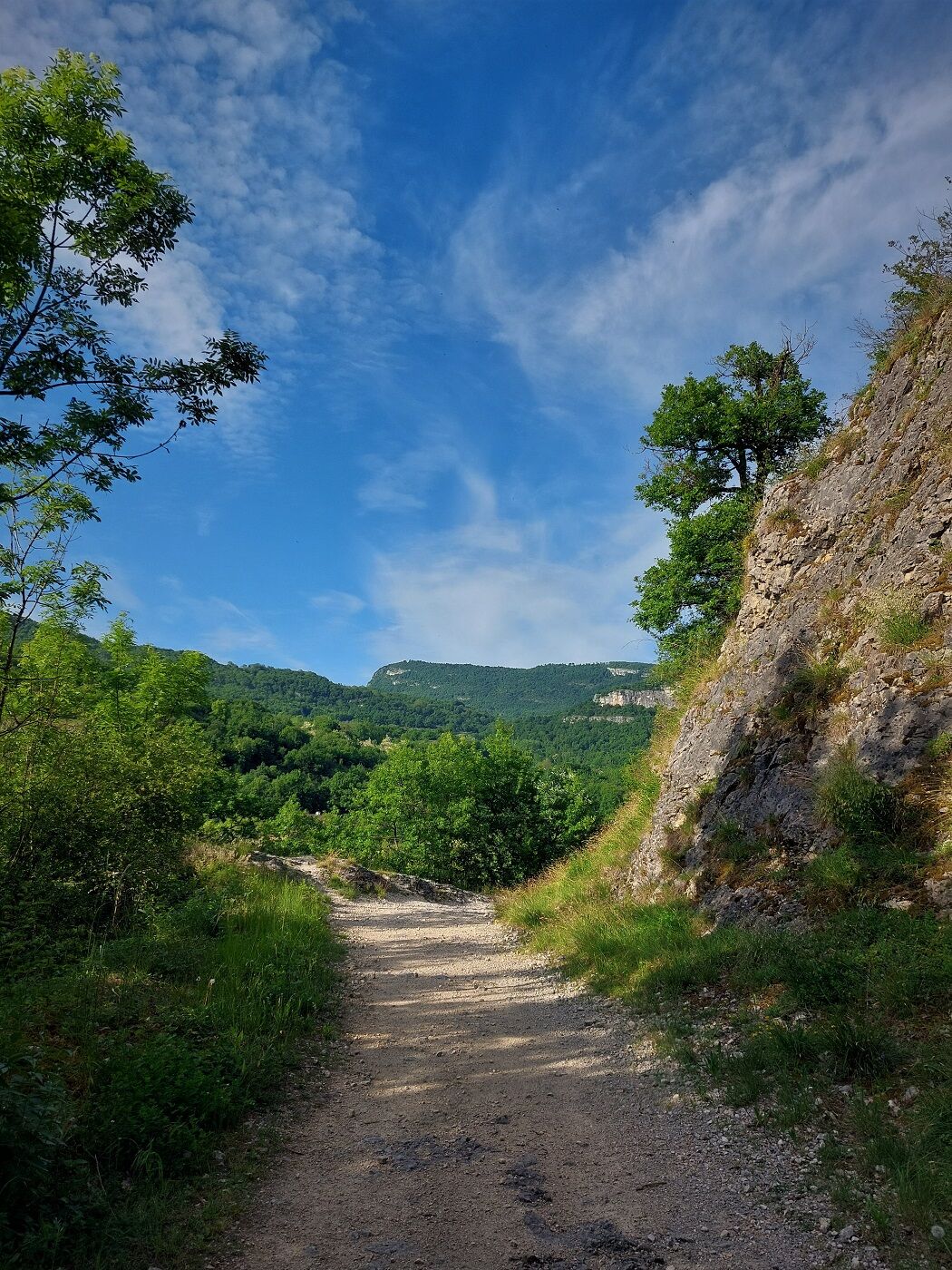
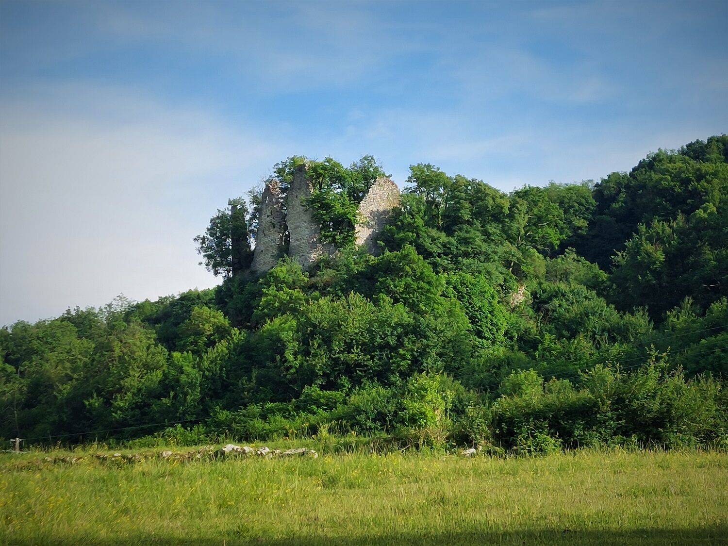
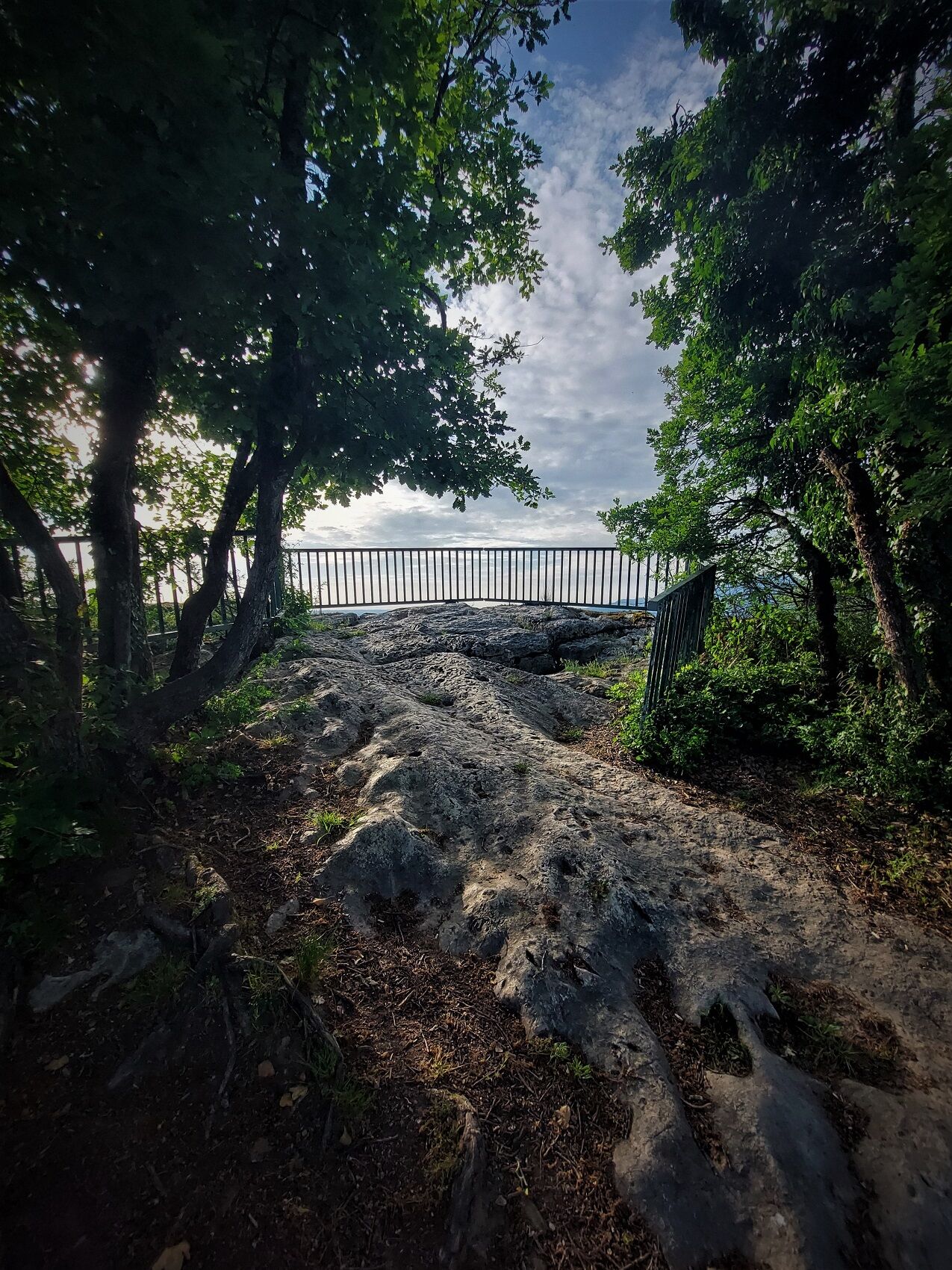
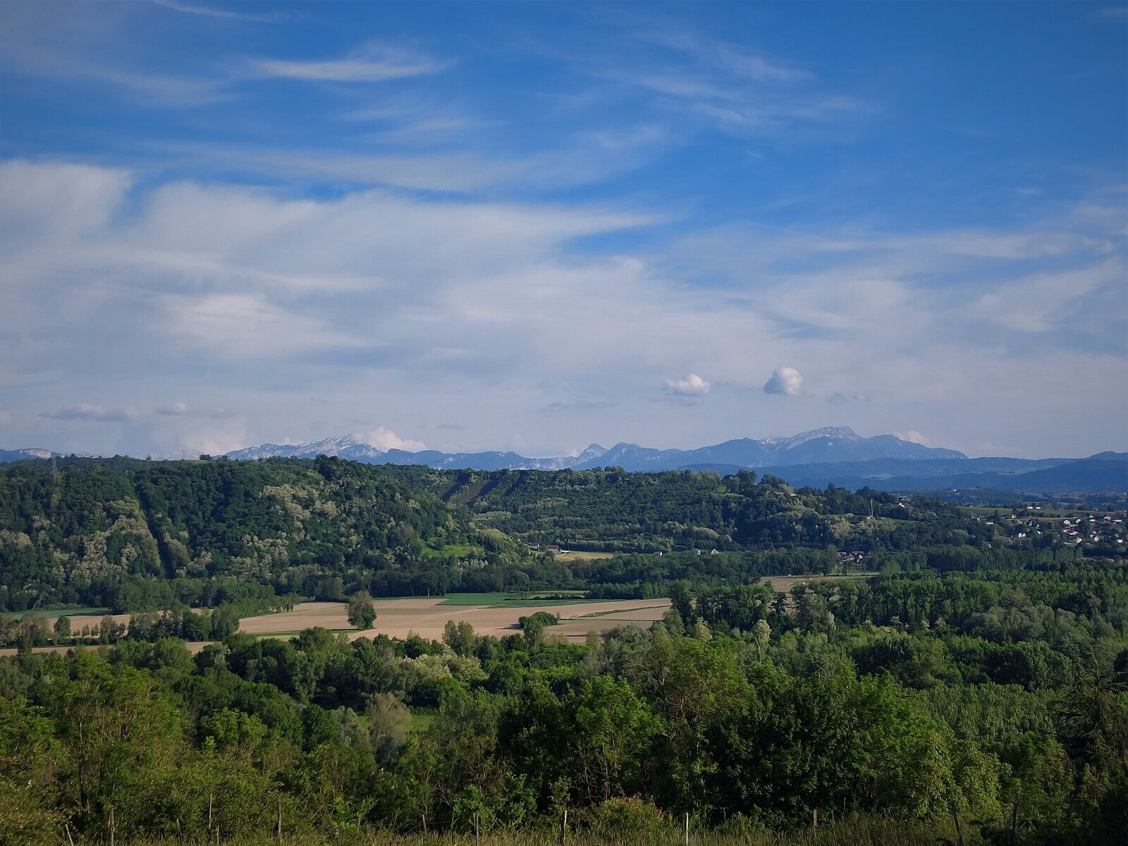
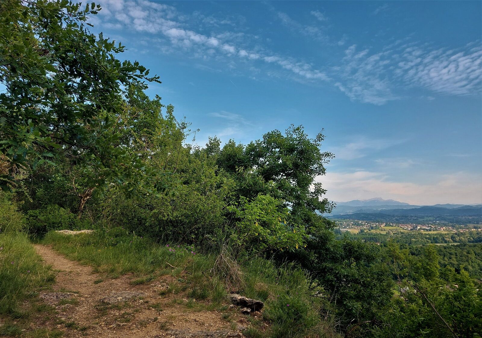
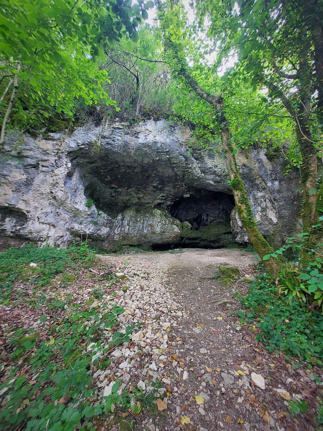
The ascent allows you to enjoy a very beautiful view of the river, the local mountains, the Chartreuse mountaines and the tiny and charming surrounding villages. The end of the loop weaves its way between the Rhône river and various caves on the side of the cliff.
Available on the free App Ainoutdoor.

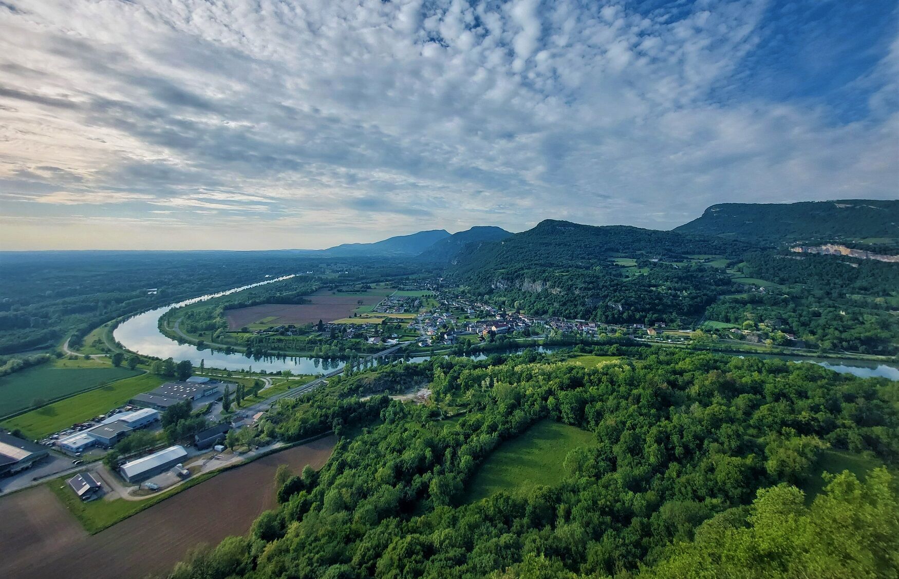
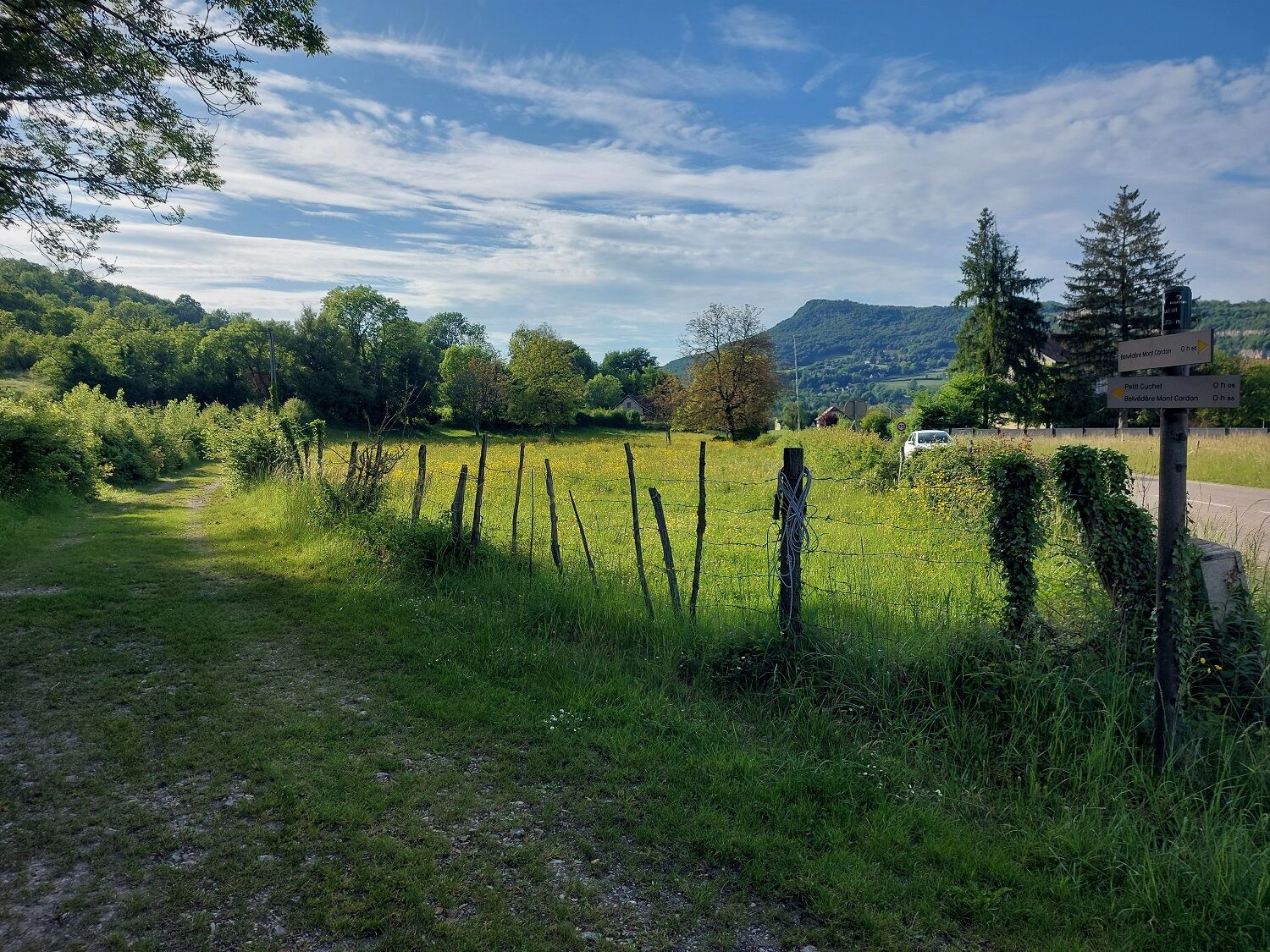
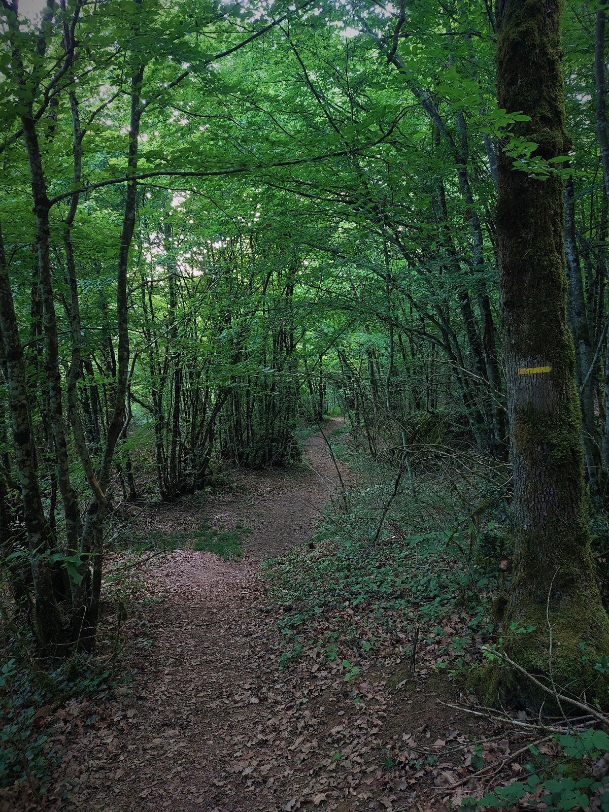
Follow the direction of the Château de la Barre, then Mont de Cordon before descending towards Petit Cuchet.
Ano
Ano
Ano
The ascent to the summit requires good footwear.
The hike does not have difficult passages, but it is recommended not to enter the caves.
Defective markings, incidents / safety, conflicts of use, illegal dumping? : locate and share the problem encountered on the national alert system via the SURICATE app or via the site https://sentinelles.sportsdenature.fr/
A43 from Lyon and Chambéry.
The starting point is not served by public transport.
Possible parking next to or behind Sofilec.
T1
APIDAE Tourism data updated on 02/24/2023 by "Office de Tourisme Bugey Sud Grand Colombier".
An error on this sheet? Write to the owner citing these references:
Sheet name: Hiking: The Route of Mont de Cordon | Sheet ID: 421138 | URL of this Outdooractive page.
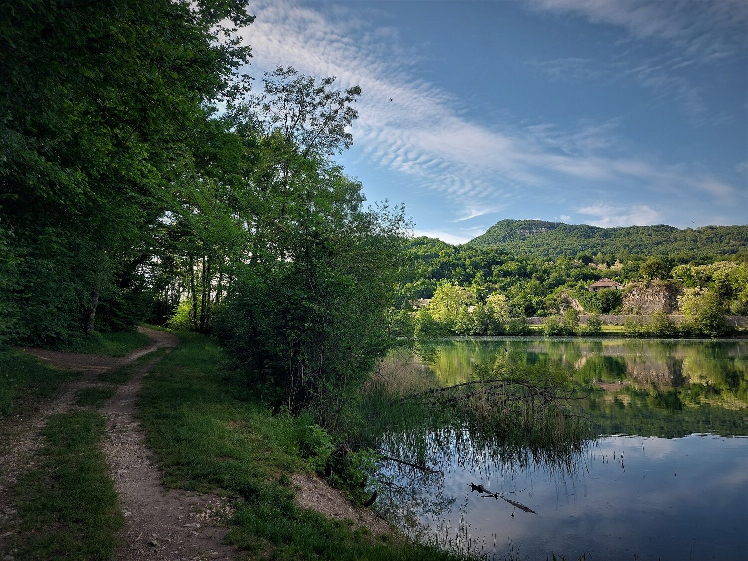
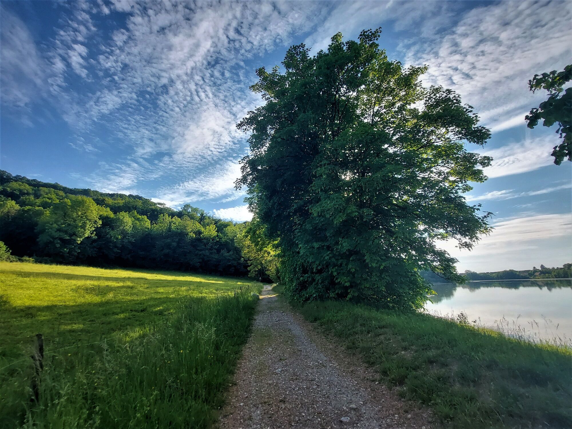
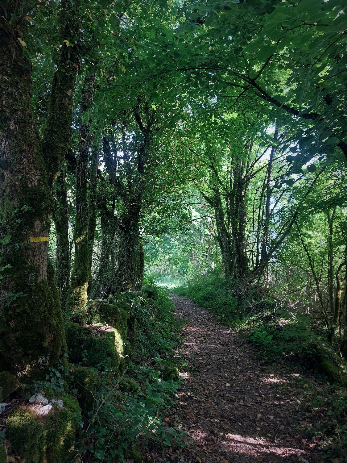
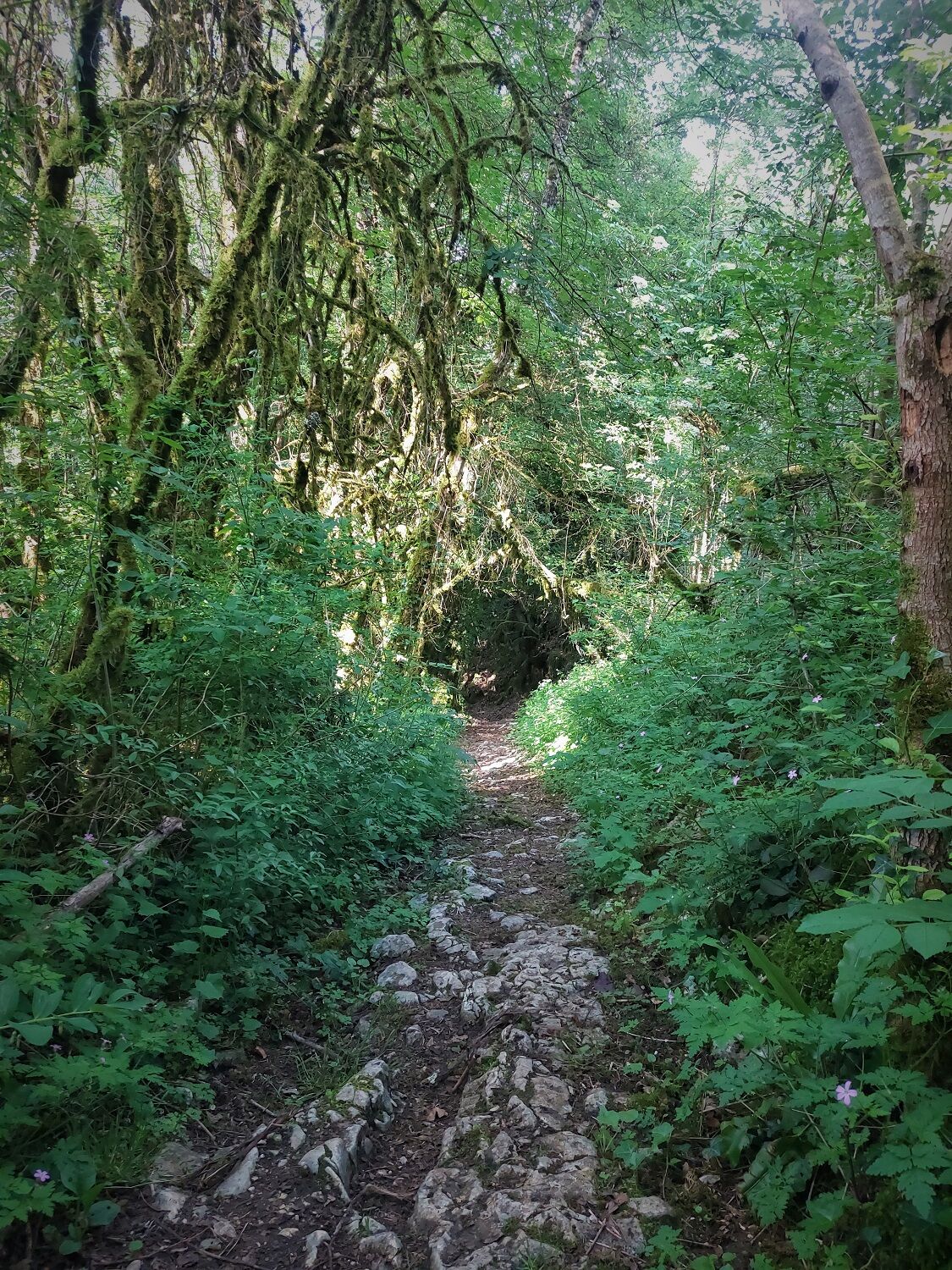
Route around the island of Mont de Cordon alternating between small forest paths and wider trails along the Rhône, between the canal and the lône (wild Rhône branch) winding between Isère and Ain.
This route is part of the "Ain Outdoor" selection.
Oblíbené prohlídky v okolí
-
Trail along the water (Sentier de l'eau)
středníTuristika 7.28 km -
4.0
Hike: Montagne de Saint-Benoit
heavyTuristika 12.5 km -
Hike : Armaille Lake
světloTuristika 9.42 km -
5-MTB trail - Lac d'Armaille - Espace FFC Ain Forestière
heavyMountainbike 26.7 km -
MTB track 1 green - Rothonne forest: Le Renard - Espace FFC Ain Forestière
světloMountainbike 4.93 km -
MTB trail 7 - Montagne de Parves - Espace FFC Ain Forestière
heavyMountainbike 28.6 km -
Hike : La croix Saint Clair
světloTuristika 5.05 km -
6-red MTB trail - Les Enfants du Marais - Espace FFC Ain Forestière
heavyMountainbike 41.4 km -
MTB track 2 blue - Rothonne forest: Le Cerf - Espace FFC Ain Forestière
světloMountainbike 8.94 km -
Walks in the forest of Rothonne
světloTuristika 8.88 km

Pěší turistika a stopování


Nenechte si ujít nabídky a inspiraci pro vaši příští dovolenou
Vaše e-mailová adresa byl přidán do poštovního seznamu.